
Basin size 630 km (240 sq mi) Basin area 630 km² | Length 52 km | |
 | ||
Main source Ristolas2,510 m (8,230 ft) River mouth Durance875 m (2,871 ft) Discharge Average rate:17 m/s (600 cu ft/s) | ||
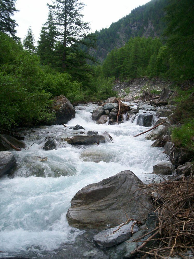
The Guil (French: le Guil) is a 51.6-kilometre (32.1 mi) long river in the Hautes-Alpes département, southeastern France. Its source is several small streams which converge into the lake Lestio, at Ristolas. It flows generally west, through the Queyras. It is a left tributary of the Durance into which it flows at Guillestre.
Contents
Map of Le Guil, France
Communes along its course
This list is ordered from source to mouth: Ristolas, Abriès, Aiguilles, Château-Ville-Vieille, Arvieux, Eygliers, Guillestre
References
Guil Wikipedia(Text) CC BY-SA