
 | ||
Similar Alps, Ubaye Valley, Col Agnel, Monte Viso, Col d'Izoard | ||
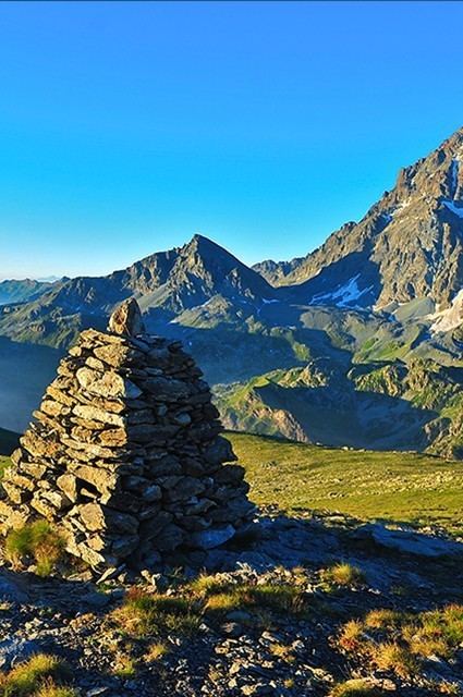
The Queyras (Occitan: Cairàs) is a valley located in the French Hautes-Alpes, of which the geographical extent is the basin of the river Guil, a tributary of the Durance. The Queyras is one of the oldest mountain ranges of the Alps, and it was one of the last ones to be opened to public tourism towards the end of the 20th century, thus being relatively untouched by environmental destruction.
Map of Queyras, 05350 Molines-en-Queyras, France
Notable mountains around the valley include:
There are two passes leading into the valley:
References
Queyras Wikipedia(Text) CC BY-SA