
- elevation 995 m (3,264 ft) - elevation 573 m (1,880 ft) | ||
 | ||
- right Hospital Creek (ACT), Dry Creek (ACT), Half Moon Creek Sources Yankee Hat, Brindabella Range | ||
Gudgenby river
The Gudgenby River, a perennial river that is part of the Murrumbidgee catchment within the Murray-Darling basin, is located in the Australian Capital Territory, Australia.
Contents
- Gudgenby river
- Map of Gudgenby River Australian Capital Territory Australia
- Gudgenby river bridge smith s road
- Location and featuresEdit
- References
Map of Gudgenby River, Australian Capital Territory, Australia
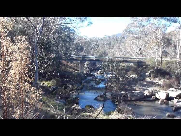
Gudgenby river bridge smith s road
Location and featuresEdit
Formed by the confluence of Bogong Creek and Middle Creek, the Gudgenby River rises within Namadgi National Park, below Yankee Hat and Mount Gudgenby, on the south-eastern slopes of the Brindabella Range in the south of the Australian Capital Territory (ACT). The river flows generally north and north-east, joined by nine tributaries, including the Naas River and Orroral River, before reaching its confluence with the Murrumbidgee River, near Tharwa. The river descends 422 metres (1,385 ft) over its 35 kilometres (22 mi) course.
The river catchment contains ecologically significant alpine wetlands.
In 2004, ACTEW announced that the creation of a large 159 gigalitres (5.6×10⁹ cu ft) reservoir by damming the Gudgenby River, below Mount Tennent, was one of three options being considered as part of the Future Water Options Project in order to provide improved reliability and increased supply of potable water for Canberra and the ACT. By 2005, the ACT Government decided that the creation of the Mount Tennent dam would not proceed; in favour enlarging the Cotter Dam.