
- elevation 898 m (2,946 ft) - elevation 631 m (2,070 ft) | ||
 | ||
- left Nass Creek, Left Hand Creek (ACT), Gudgenby Creek, Reedy Creek (ACT) | ||
The Naas River, a perennial stream of the Murrumbidgee catchment within the Murray-Darling basin, is located in the Australian Capital Territory, Australia.
Contents
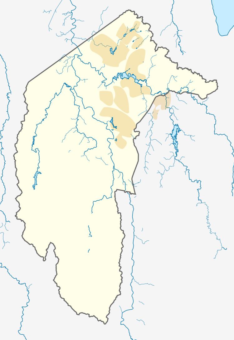
Map of Naas River, Australian Capital Territory, Australia
Course
The river rises in the southern ranges of Namadgi National Park, south of Canberra, with flow generated by runoff and melting snow during spring from the Snowy Mountains. The river flows generally north, joined by four minor tributaries, before reaching its confluence with the Gudgenby River, south of Tharwa; descending 266 metres (873 ft) over its 26-kilometre (16 mi) course.
The watershed boundary of the Naas River defines the southern and south-eastern border of the Australian Capital Territory with New South Wales.
References
Naas River Wikipedia(Text) CC BY-SA