
River mouth Mjøsa123 m (404 ft) | Length 204 km | |
 | ||
Main source Lesjaskogsvatnet611 m (2,005 ft) Similar Sjoa, Hunderfossen Familiepark, Rondane National Park, Maihaugen, Dovrefjell | ||
rretfiske i gudbrandsdalsl gen 4 5kg
The Gudbrandsdalslågen (or the Lågen) is a river which flows through the valley of Gudbrandsdal in Norway.
Contents
- rretfiske i gudbrandsdalsl gen 4 5kg
- Map of GudbrandsdalslC3A5gen Norway
- Fluefiske gudbrandsdalsl gen
- Overview
- Etymology
- Related reading
- References
Map of Gudbrandsdalsl%C3%A5gen, Norway
Fluefiske gudbrandsdalsl gen
Overview
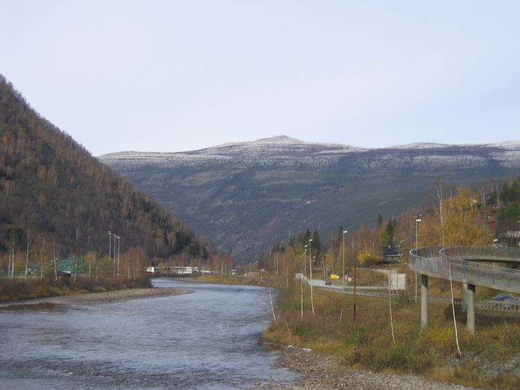
The Gudbrandsdalslågen begins in the lake Lesjaskogsvatnet (or Lesjavatn), which lies in Lesja municipality in Oppland. Lesjavatn is the only lake in Norway which has two outlets; they flow into two of Norway’s more famous rivers. In the southeast at Lesjaverk village the lake serves as the headwaters for the Gudbrandsdalslågen, while in the northwest at Lesjaskog village, Lesjavatn is the headwaters for the Rauma river.
The Gudbrandsdalslågen flows through the Gudbrandsdal. Western tributaries of the Gudbrandsdalslågen include the Gausa River flowing through the Gausdal valley, the Otta River flowing through the Ottadalen valley, the Vinstra River flowing through the Vinstradal valley, and the Sjoa River, flowing through the Heidal valley. The eastern rivers, Jora, Ula, Frya, Tromsa and Mesna are shorter and drop precipitously from the heights of the Rondane. Although relatively placid for extended stretches of its 200-kilometre (120 mi) path, the Gudbrandsdalslågen drops rapidly through the Rosten Gorge in Sel.
Between the municipalities of Ringebu and Øyer the river widens out and creates the large so-called "riverlake," Losna).
The Gudbrandsdalslågen terminates in the lake of Mjøsa at Lillehammer. It is the largest river flowing into this lake, which discharges into the short Vorma River. The Vorma joins the Glomma River at Nes.
Norwegian rivers crest in the spring as the snow melts. The Gudbrandsdalslågen, draining higher elevations and being primarily glacier fed, typically crests later than the Glomma river, which drains the east valleys. In the rare year when both crest at the same time, their confluence at Nes is the site of great floods. The most famous simultaneous crest of the Gudbrandsdalslågen and Glomma resulted in the flood of 20–23 July 1789, with crests over 50 feet above mean level at Lake Øyer below Nes and extensive damage, including 68 casualties.
Etymology
Lågen is the finite form of låg (Old Norse lǫgr m) 'water; river'. The meaning is just 'the river', and this term must have replaced an old name that is now forgotten and unknown. (Compare with Numedalslågen.)