
District Gudbrandsdal Area rank 84 in Norway Area 1,192 km² Local time Saturday 5:34 AM | County Oppland Administrative centre Segalstad bru Demonym(s) Gausdøl Population 6,186 (2004) | |
 | ||
Weather -12°C, Wind NW at 6 km/h, 90% Humidity Points of interest Skeikampen, Skeikampen Alpine centre, Randsfjordmuseene, Trail to historic Helgafos, Ormtjernkampen National Park | ||
Come to gausdal
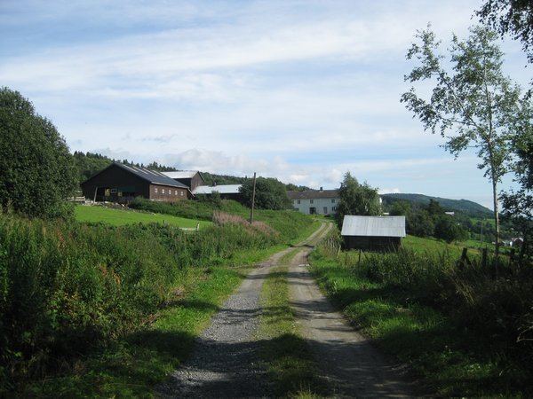
Gausdal is a municipality in Oppland county, Norway. It is part of the traditional region of Gudbrandsdal. The administrative centre of the municipality is the village of Segalstad bru. Follebu is a township and sub-parish in eastern Gausdal.
Contents
- Come to gausdal
- Map of Gausdal Norway
- Name
- Coat of arms
- History
- Geography
- Notable residents
- Sister cities
- References
Map of Gausdal, Norway
Logging, farming, and tourism are important occupations in the municipality.
Name
The Old Norse form of the name was Gausdalr. The first element is the river name Gausa and the last element is dalr which means "valley" or "dale". The river name is derived from the verb gjósa which means "stream forcefully".
Coat-of-arms
The coat-of-arms is from modern times. They were granted on 19 September 1986. The arms show the typical shape of one of the main mountains in the municipality, Skeikampen.
History
The Follebu stone church was built in the early Middle Ages (around 1250). It is unusual in that the chancel and nave were built as one continuous piece.
In the 1880s, there was mining for nickel in Espedalen. The search for nickel was taken up again in 2004 by Blackstone Venture, a Canadian company. As of 2006, they are still drilling for mineral samples only.
The municipality of Gausdal was established on 1 January 1838 (see formannskapsdistrikt). Gausdal was divided into the separate municipalities of Vestre Gausdal and Østre Gausdal in 1879, but they were reunited into one municipality in 1962.
Geography
Gausdal is bordered on the northwest by Sør-Fron municipality, on the northeast by Ringebu and Øyer, on the southeast by Lillehammer, on the south by Nordre Land, on the southwest by Nord-Aurdal and Øystre Slidre.
The famous Peer Gynt mountain road begins here and leads to Vinstra.
A popular ski area is located on the south slope of Skeikampen mountain.
Western tributaries of the Gudbrandsdalslågen include the Gausa River, which flows through Gausdal valley.
Norway's smallest national park, Ormtjernkampen National Park, lies within the municipality.
Notable residents
Sister cities
The following cities are twinned with Gausdal: