
Elevation 217 m (712 ft) Area code 02268 Local time Saturday 1:00 AM Population 1,578 (1 Apr 2009) | Time zone CET (UTC+1) Website www.grossmugl.gv.at Postal code 2002 District Korneuburg District | |
 | ||
Weather 4°C, Wind NW at 16 km/h, 81% Humidity | ||
Let s flight google earth landung zwischen gro mugl und hollabrun hd
Großmugl is a town in the district of Korneuburg in Lower Austria in Austria. It is situated about 15 km north of Stockerau within the Weinviertel in Lower Austria. Großmugl takes up about 64.49 square kilometers, 29.91 percent of which are forest.
Contents
- Let s flight google earth landung zwischen gro mugl und hollabrun hd
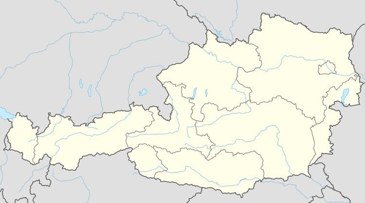
- Map of 2002 GroC39Fmugl Austria
- The giant tumulus
- References
Map of 2002 Gro%C3%9Fmugl, Austria
The giant tumulus
The name of the village literally translates as "large steep hill," and refers to a nearby tumulus (locally known as the Leeberg) that is believed to have been erected by the people of the Kalenderberg culture, probably around 600-500 B.C. This was a northeastern subgroup of the Hallstatt culture, with a standard of living generally somewhat poorer than the other coexisting subgroups of the eastern Hallstatt cultural area. The geographic position of the Leeberg is 48° 29.34'N/16°13.45'E.
With 55 m diameter and 16 m height remaining, the Leeberg is the largest hill grave in Central Europe. Taking erosion into account, its original size can be estimated at 18-20 m height and a base diameter of about 70 m. Because of its unusual size it has apparently defied graverobbers and also the more recent efforts of "amateur archeologists." Although it is beyond doubt that this huge tumulus must be a powerful local chieftain's burial place, no serious attempt at scientific investigation of the Leeberg has been made either.
Großmugl opened a permanent star walk installation designated for astronomical observations with the unaided eye. The Großmugl Star Walk was designed by Project Nightflight and built in close collaboration with the municipality of Großmugl.