
County Greene Area code(s) Area code 706 Elevation 195 m Population 3,461 (2013) Number of airports 1 | Time zone Eastern (EST) (UTC-5) FIPS code 13-34876 Zip code 30642 Local time Thursday 10:48 PM | |
 | ||
Weather 13°C, Wind NE at 0 km/h, 43% Humidity Area 17.61 km² (17.35 km² Land / 21 ha Water) | ||
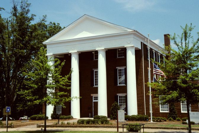
The city of Greensboro is the county seat of Greene County, Georgia, United States. Its population was 3,359 as of the 2010 census.
Contents
- Map of Greensboro GA 30642 USA
- History
- Geography
- Demographics
- Greene County School District
- Notable people
- References
Map of Greensboro, GA 30642, USA
History
Greensboro was founded around 1780. In 1787, it was designated seat of the newly formed Greene County. It was incorporated as a town in 1803 and as a city in 1855.
Geography
Greensboro is located at the center of Greene County at 33°34′18″N 83°10′51″W (33.571528, -83.180921). U.S. Route 278 passes through the city center as Broad Street, leading east 7 miles (11 km) to Union Point and west 19 miles (31 km) to Madison. Georgia State Route 44 leads southwest from Greensboro 22 miles (35 km) to Eatonton. State Route 15 leads north 34 miles (55 km) to Athens and southeast 27 miles (43 km) to Sparta. The city limits extend southwest along SR 44 for 4 miles (6 km) so as to include Exit 130 on Interstate 20. I-20 leads east 70 miles (110 km) to Augusta and west 73 miles (117 km) to Atlanta.
According to the U.S. Census Bureau, Greensboro has a total area of 6.8 square miles (17.6 km2), of which 6.7 square miles (17.4 km2) is land and 0.1 square miles (0.2 km2), or 0.99%, is water. The city is in the Oconee River watershed and is located 5 miles (8 km) east of Lake Oconee and 2 miles (3 km) southeast of Oconee National Forest.
Demographics
As of the census of the year 2000, there were 3,238 people, 1,184 households, and 806 families residing in this town. The population density was 556.5 people per square mile (214.8/km²). There were 1,264 housing units at an average density of 217.2 per square mile (83.9/km²). The racial makeup of this town was 33.45% White, 62.01% African American, 0.40% Native American, 0.31% Asian, 0.28% Pacific Islander, 2.66% from other races, and 0.90% from two or more races. Hispanic or Latino of any race were 5.34% of the population.
There were 1,184 households out of which 35.5% had children under the age of 18 living with them, 33.3% were married couples living together, 29.2% had a female householder with no husband present, and 31.9% were non-families. 28.5% of all households were made up of individuals and 13.5% had someone living alone who was 65 years of age or older. The average household size was 2.65 and the average family size was 3.22.
In this town the population is distributed with 29.3% under the age of 18, 11.2% from 18 to 24, 26.4% from 25 to 44, 18.7% from 45 to 64, and 14.4% who were 65 years of age or older. The median age of its inhabitants was about 32 years. For every 100 females there are about 83.9 males. For every 100 females age 18 and over, there are about 78.5 males.
The median income per household in this town was $24,250, and the median income for a family was $27,049. Males had a median income of $22,788 versus $15,720 for females. The per capita income for the town was $14,494. About 26.4% of the towns families and 31.2% of the population were below the poverty line, including 46.2% of those under age 18 and 23.2% of those age 65 or over.
Greene County School District
The Greene County School District holds pre-school to grade twelve, and consists of two elementary schools, a middle school, a high school, and a charter school. The district has 158 full-time teachers and over 2,280 students.