
Country United States County Greene FIPS code 13-78380 Elevation 205 m Population 1,648 (2013) Area code 706 | Time zone Eastern (EST) (UTC-5) GNIS feature ID 0356607 Zip code 30669 Local time Friday 1:26 PM | |
 | ||
Weather 23°C, Wind W at 21 km/h, 39% Humidity Area 4.973 km² (4.895 km² Land / 8 ha Water) | ||
Union Point is a city in Greene County, Georgia, United States. As of the 2010 census the city population was 1,617.
Contents
Map of Union Point, GA 30669, USA
Geography
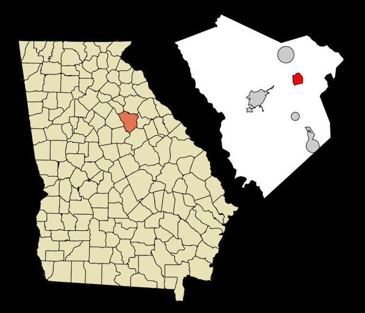
Union Point is located in eastern Greene County at 33°36′59″N 83°4′26″W (33.616263, -83.073905). U.S. Route 278 passes through the city as Lamb Avenue, leading east 11 miles (18 km) to Crawfordville and west 7 miles (11 km) to Greensboro, the Greene County seat. Georgia State Route 77 leads north 23 miles (37 km) to Lexington and south 5 miles (8 km) to Interstate 20 at Siloam, and State Route 44 leads northeast 22 miles (35 km) to Washington.
According to the United States Census Bureau, Union Point has a total area of 1.9 square miles (5.0 km2), of which 0.03 square miles (0.07 km2), or 1.34%, is water.
Demographics
As of the census of 2000, there were 1,669 people, 651 households, and 421 families residing in the city. The population density was 811.4 people per square mile (312.8/km²). There were 744 housing units at an average density of 361.7 per square mile (139.4/km²). The racial makeup of the city was 51.47% White, 46.38% African American, 0.66% Asian, 0.84% from other races, and 0.66% from two or more races. Hispanic or Latino of any race were 2.10% of the population.
There were 651 households out of which 32.4% had children under the age of 18 living with them, 35.3% were married couples living together, 24.0% had a female householder with no husband present, and 35.3% were non-families. 31.6% of all households were made up of individuals and 13.5% had someone living alone who was 65 years of age or older. The average household size was 2.46 and the average family size was 3.08.
In the city, the population was spread out with 26.7% under the age of 18, 9.7% from 18 to 24, 24.9% from 25 to 44, 21.7% from 45 to 64, and 17.0% who were 65 years of age or older. The median age was 37 years. For every 100 females there were 85.4 males. For every 100 females age 18 and over, there were 77.2 males.
The median income for a household in the city was $26,384, and the median income for a family was $32,284. Males had a median income of $26,484 versus $20,071 for females. The per capita income for the city was $14,715. About 14.0% of families and 18.2% of the population were below the poverty line, including 27.1% of those under age 18 and 13.7% of those age 65 or over.