
Max. length 20 mi (32 km) Surface elevation 133 m Mean depth 6.4 m | Area 77.09 km² Length 32 km Width 1.6 km | |
 | ||
Primary inflows Fish Striped bass, Largemouth bass, Channel catfish, White bass, Blue catfish, Flathead catfish, Hybrid striped bass, White bullhead | ||
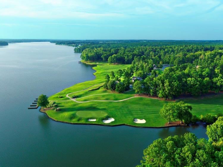
Waterfront golf home on lake oconee in greensboro georgia
Lake Oconee is a reservoir in central Georgia, United States, on the Oconee River near Greensboro and Eatonton. It was created in 1979 when Georgia Power completed the construction of the Wallace Dam on the Oconee River.
Contents
- Waterfront golf home on lake oconee in greensboro georgia
- Map of Lake Oconee Georgia USA
- Rv camping at lake oconee
- HydrologyEdit
- References
Map of Lake Oconee, Georgia, USA
Lake Oconee runs through Georgia's Morgan, Greene, and Putnam counties and is separated from its sister lake, Sinclair, by Wallace Dam.
Oconee is the name of an ancient Creek town.
Rv camping at lake oconee
HydrologyEdit
Lake Oconee serves as a reservoir for Georgia Power Company's Wallace Hydroelectric Plant. The lake has 374 miles of shoreline with a surface area of 18,971 acres. It is formed by the Oconee and Appalachee Rivers. The lake's height is only 120 feet.
References
Lake Oconee Wikipedia(Text) CC BY-SA