
Population 838 (2011 census) Postcode(s) 5360 Founded 1851 Local time Friday 1:57 PM | Established 1851 Postal code 5360 Federal division Division of Wakefield | |
 | ||
Weather 32°C, Wind SW at 13 km/h, 18% Humidity | ||
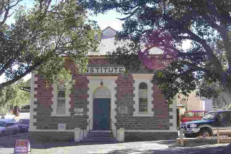
Greenock is a small town on the north-west edge of the Barossa Valley. Located 66 km from Adelaide on the Sturt Highway (A20), Greenock is characterised by tree-lined streets with shady peppercorn trees which offer welcome relief from the hot summers which are characteristic of the area.
Contents
Map of Greenock SA 5360, Australia
The town was named by James Smith, the secretary of George Fifie Angas, after Greenock on the Clyde River in Scotland and is sometimes called Little Scotland in the Barossa Valley. The town is also located on the famous Heysen Trail.
Residents
According to the 2006 Census the population of the Greenock census area was 685 people. Approximately 51.4% of the population were male, 82.9% are Australian born, over 92.6% of residents are Australian citizens and 0% were native born indigenous people. The most popular industries for employment were Beverage Manufacturing (17.4%), Packaging Services, Fruit and Tree Nut Growing and School Education (all 3.5%), while the unemployment rate is approx 5.3%. The median weekly household income is A$1,057 or more per week, compared with $924 in Adelaide. 29.6% of the population identify themselves as Lutheran, while a slightly lower 21.9% identify with no religion at all.