
Population 222 (2011 census) Postal code 2729 | Postcode(s) 2729 County Wynyard Elevation 309 m Local time Saturday 1:27 PM | |
 | ||
Weather 29°C, Wind E at 21 km/h, 39% Humidity | ||
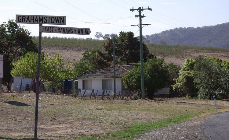
Grahamstown is a village community in the central east part of the Riverina and situated about 12 kilometres north from Adelong and 13 kilometres south from Tumblong. At the 2006 census, Grahamstown had a population of 222 people.
Map of Grahamstown NSW 2729, Australia
Grahamstown consists of a small number of private residences on the Adelong to Tumblong road and the somewhat dilapidated Billy Goat Hall.
Grahamstown Post Office opened on 16 December 1881 and closed in 1981.
References
Grahamstown, New South Wales Wikipedia(Text) CC BY-SA