Population 884 (2011) Postcode(s) 2729 County Wynyard Founded 1858 Local time Thursday 8:46 PM | Established 1858 Elevation 303 m Postal code 2729 | |
 | ||
Location 410 km (255 mi) from Sydney81 km (50 mi) from Wagga Wagga20 km (12 mi) from Tumut6 km (4 mi) from Grahamstown Weather 22°C, Wind E at 13 km/h, 61% Humidity | ||
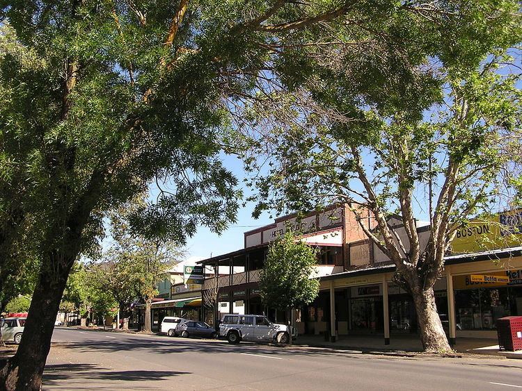
Adelong is a small town in the Riverina region of New South Wales, Australia and is a part of the Snowy Valleys Council. In 2011, Adelong had an urban population of 884.
Contents
Map of Adelong NSW 2729, Australia
The town is situated about 160 kilometres (99 mi) west of Canberra. It is on the Snowy Mountains Highway.
History
The town's name is said to be derived from an Aboriginal language meaning "along the way" or "plain with a river".
The gold ran out in the latter part of the 19th century and the pastoral industry became the principal activity. This was mainly Merino sheep and beef cattle, and continues now. Over the last 20 years a tourist industry has developed because of the pleasant scenery and gold mining history. During the gold rush many Chinese people worked in the mines, a lot of whom died and were buried in a special portion of the Adelong cemetery. Unfortunately the Chinese portion of the cemetery was obliterated in the early 1900s. One or two elderly Chinese and Indians still lived in Adelong in the 1950s. A community named Cornishtown existed about a mile to the west of Adelong till the 1940s. The famous Adelong Falls, with its rich gold-mining past, is an ideal spot to have a leisurely picnic or to explore the unique surrounding area.
