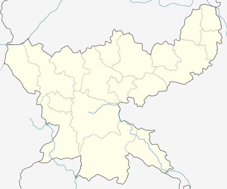
Time zone IST (UTC+5:30) Elevation 219 m Area code 06540 | CD block Govindpur PIN 828109 (Govindpur) Population 245,697 (2011) | |
 | ||
Govindpur (also spelled Gobindpur) is a community development block that forms an administrative division in Dhanbad district, Jharkhand state, India. It is located 12 km from Dhanbad, the district headquarters.
Contents
Geography
Govindpur is located at 23°50′19″N 86°31′7″E.
Govindpur CD Block has an area of 33,443.81 hectares (82,641.5 acres), out of which 2,360.99 hectares (5,834.1 acres) is forest area. It has 40 panchayats and 225 villages.
Demographics
As per 2011 Census of India, Gobindpur CD Block had a total population of 245,697, of which 220,384 were rural and 25,313 were urban. There were 127,285 males and 118,412 females. Scheduled Castes numbered 27,617 and Scheduled Tribes numbered 34,026. Population below 6 years was 39,613.
Gobindpur CD Block has three census towns (2011 population figure in brackets): Gobindpur (11,318), Karmatanr (6,392) and Jangalpur (7,603).
Literacy
As of 2011 census the total number of literates in Gobindpur CD Block was 144,233 (69.99 per cent of the population above 6 years) out of which 86,322 were males and 54,901 were females.
As of 2011 census, literacy in Dhanbad district was 74.52.Literacy in Jharkhand (for population over 7 years) was 66.41% in 2011. Literacy in India in 2011 was 74.04%.
Economy
Kandra Industrial Area, located in this block, produces chemicals etc. based on mining products.
