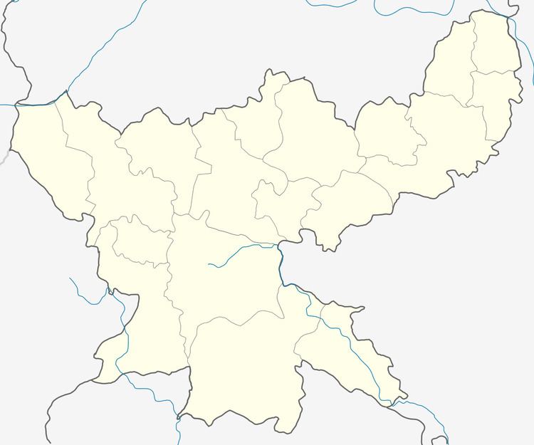
Country India District Dhanbad Time zone IST (UTC+5:30) Population 58,884 (2011) | State Jharkhand CD block Dhanbad Elevation 235 m Area code 0326 | |
 | ||
PIN 826001 (Dhanbad) 826004 (Indian School of Mines) | ||
Dhanbad is a community development block that forms an administrative division in Dhanbad district, Jharkhand state, India.
Contents
Geography
Dhanbad is located at 23°48′7″N 86°26′36″E.
Dhanbad CD Block has an area of 12,882 ha, out of which 776.10 is forest area. It has 67 panchayats and 85 villages.
Demographics
As per 2011 Census of India, Dhanbad CD Block (mentioned in 2011 census as Dhanbad-cum-Kenduadih-cum-Jagata CD Block) had a total population of 58,884, of which 33,421 were rural and 25,463 were urban. There were 31,040 males and 27,844 females. Scheduled Castes numbered 13,909 and Scheduled Tribes numbered 2,892. Population below 6 years was 7,699.
Dhanbad CD Block has five census towns (2011 population figure in brackets): Pondar Kanali (6,611), Sialgudri (5,450), Aralgoria (4,647), Sansikhara (4,570) and Bardhubi (4,158).
Literacy
As of 2011 census, the total number of literates in Dhanbad CD Block was 40,166 (78.47% of the population above 6 years) out of which 23,974 were males and 16,192 were females.
As of 2011 census, literacy in Dhanbad district was 74.52.Literacy in Jharkhand (for population over 7 years) was 66.41% in 2011. Literacy in India in 2011 was 74.04%.
