
Country India Time zone IST (UTC+5:30) Elevation 188 m Local time Thursday 4:16 AM | Vehicle registration JH Population 11,318 (2011) | |
 | ||
Weather 17°C, Wind N at 3 km/h, 50% Humidity | ||
Gobindpur is a census town in Govindpur CD Block in Dhanbad district in the Indian state of Jharkhand.
Contents
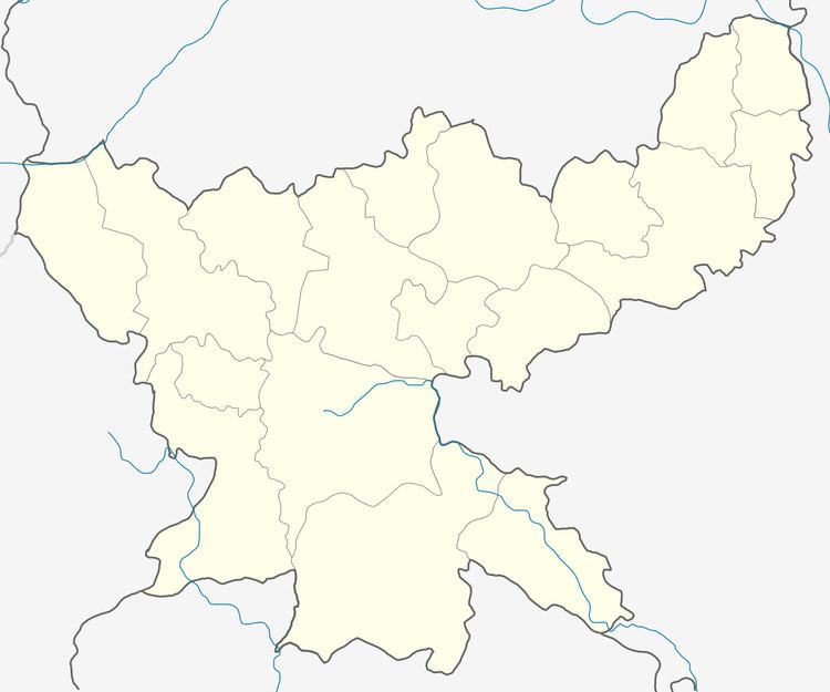
Map of Gobindpur, Jharkhand 831002
Geography
Gobindpur is located at 23°50′19″N 86°31′7″E.It has an average elevation of 188 metres (616 feet).
Demographics
As per 2011 Census of India Gobindpur had a population of 11,318, of which 5,950 were males and 5,368 females. Scheduled Castes numbered 869 and Scheduled Tribes numbered 56.
As of 2001 India census, Gobindpur had a population of 8,504. Males constitute 54% of the population and females 46%. Gobindpur has an average literacy rate of 65%, higher than the national average of 59.5%: male literacy is 73%, and female literacy is 55%. In Gobindpur, 15% of the population is under 6 years of age.
Literacy
As per 2011 census the total number of literates in Gobindpur was 8,014 out of which 4,588 were males and 3,246 were females.
History
Gobindpur was a mint town in the Mughal era. Copper coins were produced during the reigns of Akbar and Jahangir.
Transport
It is the junction point of NH 19 (old number: NH 2) and NH 18 (old number: NH 32).