
Time zone BRT/BRST (UTC-3/-2) | Elevation 395 m (1,296 ft) | |
 | ||
Microregion Quirinópolis Microregion | ||
Gouvelândia is a municipality in south Goiás state, Brazil. Gouvelândia is a large producer of sesame and peanuts.
Contents
- Map of GouvelC3A2ndia State of GoiC3A1s Brazil
- Location
- Demographics
- The economy
- Health and education
- References
Map of Gouvel%C3%A2ndia - State of Goi%C3%A1s, Brazil
Location
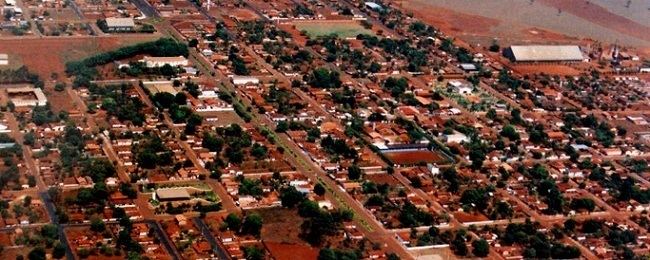
Gouvelândia is located in the Quirinópolis Microregion, 35 kilometers west of the most important city, Quirinópolis. The Rio dos Bois, a tributary of the Paranaíba crosses the region. The southern boundary is with the São Simão artificial lake and the border with the state of Minas Gerais.
The distance to state capital, Goiânia, is 299 km. Highway connections from Goiânia are by GO-040 / Aragoiânia / Cromínia / GO-215 / Pontalina / GO-040 / Aloândia / Bom Jesus de Goiás / BR-452 / Itumbiara / GO-206 / BR-483 / Cachoeira Dourada / Inaciolândia. See Sepin for all the distances.
Neighboring municipalities are:
Demographics
The economy
The main economic activities were cattle raising and agriculture. Agricultural production was based on cattle raising (73,000 in 2006), cotton, peanuts, sesame seeds, corn, and soybeans.
Economic Data (2007)
Main agricultural products in ha.(2006)
Farm Data (2006)in ha.
Health and education
There were 04 schools with 1,640 students (2006). There were no hospitals.
Gouvelândia first became a district of Quirinópolis in 1963, gaining municipal status in 1983.