
Province Québec | Length 50,000 m | |
 | ||
Gouin boulevard worst road in montreal according to caa qu bec
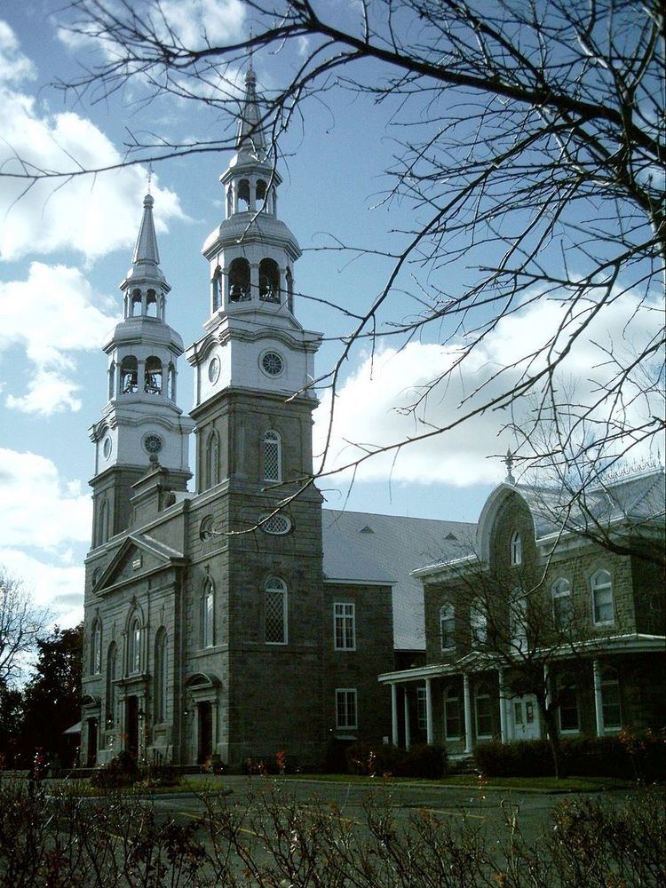
Gouin Boulevard (officially in French: boulevard Gouin) is the longest street on the Island of Montreal, stretching 50 kilometres (31 mi) across the north side of the island from Senneville in the west to Pointe-aux-Trembles in the east, where it intersects with Sherbrooke Street (Quebec Route 138).
Contents
- Gouin boulevard worst road in montreal according to caa qu bec
- Map of Boul Gouin O MontrC3A9al QC Canada
- Overview
- References
Map of Boul Gouin O, Montr%C3%A9al, QC, Canada
Overview
Through most of its length it parallels the Riviere des Prairies that separates Montreal from Laval (Île Jésus). The road crosses the boroughs, municipalities and neighbourhoods of Senneville, Pierrefonds, Sainte-Geneviève, Roxboro, Saraguay, Cartierville, Ahuntsic, Riviere-des-Prairies, Montréal-Nord and Pointe-aux-Trembles. It is named after Lomer Gouin, Premier of Quebec from 1905 to 1920.
Many sections of the street feature bicycle lanes that are part of Quebec's Route Verte network. However, several sections have been criticized as dangerous, due to the presence of hydro poles in the lanes.