
 | ||
Weather 18°C, Wind SE at 14 km/h, 18% Humidity | ||
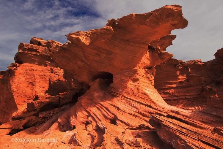
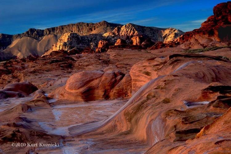
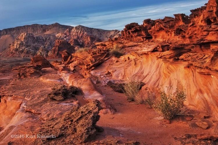
Gold butte nevada
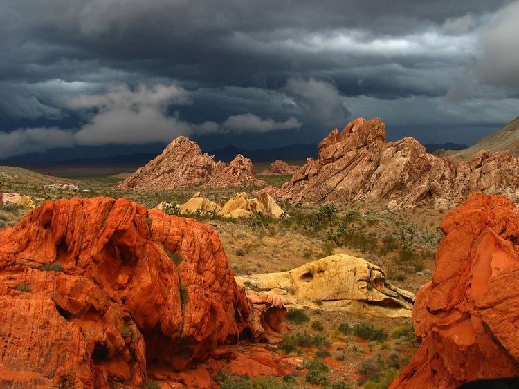
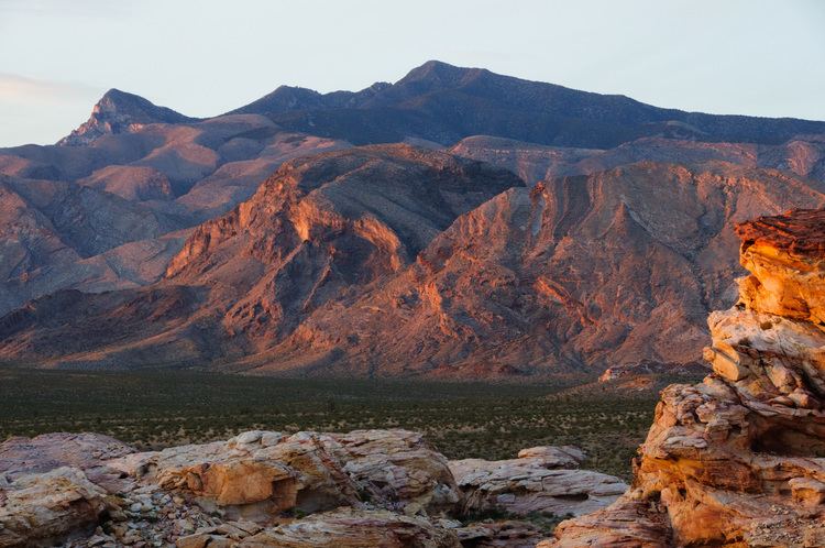
Gold Butte is the name of a ghost town and nearby mountain peak in Clark County, Nevada. Both are protected as part of the Gold Butte National Monument, managed by the Bureau of Land Management. Gold Butte, the mountain, is 5,013 feet (1,528 m) high and rises 1,280 feet (390 m) above the town of Gold Butte. This peak lies within the Virgin Mountains and its name apparently refers to the Gold Butte Mining District.
Contents
The bedrock of the landscape around Gold Butte Peak and nearby Bonelli Peak consist of gray, Proterozoic, porphyritic perthite-quartz-biotite granites and quartz monzonites that are also classified as rapakivi granite. These granites, which are collectively called the Gold Butte Granite, intrude garnet-cordierite-sillimanite and hornblende gneisses, migmatites, and older granites, pyroxenites, and hornblendites. East of Gold Butte, these Proterozoic medium-to high-grade metamorphic and plutonic rocks are unconformably overlain by 3 to 4 kilometers (1.9 to 2.5 mi) of steeply east-dipping Paleozoic sedimentary. Together, these plutonic, metamorphic, and sedimentary strata comprise a fault-bounded segment of crust known as the Gold Butte Block. The landscapes, of which Gold Butte is a part, within Gold Butte block represents the deeply eroded footwall of a Miocene detachment fault that provides a continuous outcrop of a section of the upper Earth's crust that is approximately 24 to 25 kilometers (15 to 16 mi) thick. Thus, Gold Butte lies near the base of possibly the longest continuously exposed section of the Earth's crust in the southwestern United States. Fryxell and Duebendorfer argued that the strata comprising Frenchman Mountain originated as the hanging wall that originally overlied the now tectonically exhumed Gold Butte block. It was during the Miocene, that these strata were translated to their present position by movement along detachment and strike-slip faults.
Gold Butte (ghost town)
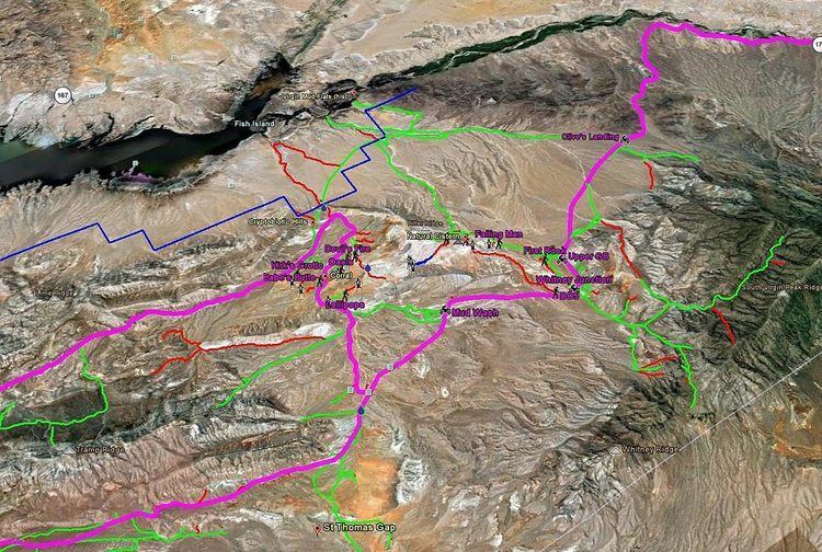
Gold Butte, Nevada is also a ghost town located in Clark County, Nevada that was established in 1908 when gold was discovered in the area. Mining was active from about 1905 through 1910. Little remains at the site: a couple of foundations, two graves, and several old mine shafts. The BLM's Jumbo Springs Wilderness is south of the Gold Butte townsite.
Gold Butte Mining District
The Gold Butte Mining District includes the territory south of Gold Butte lying between the Nevada-Arizona state line to the east and the Virgin River (now Lake Mead) to the west. Mining began in the 1880s. The total production from the district has been about $75,000. There has been prospecting and small-scale mining for gold, mica, magnesite, copper and zinc. No significant deposits were found.
Recent history
The Bundy standoff, which pertains in part to the Gold Butte area, was caused in spring 2014 as the result of a 20-year-old land use disagreement between the Bureau of Land Management and Cliven Bundy, a local rancher.
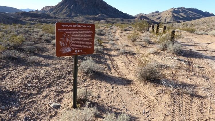
Senator Harry Reid, along with local business leaders and conservation groups, have campaigned to make Gold Butte and the surrounding area into National Conservation Area. On December 28, 2016, President Barack Obama established Gold Butte National Monument, protecting the public lands surrounding Gold Butte.