
Area 187.4 km² | Population 14,225 (2006) | |
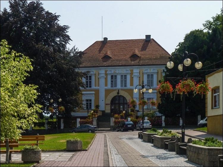 | ||
Gmina Otmuchów is an urban-rural gmina (administrative district) in Nysa County, Opole Voivodeship, in south-western Poland, on the Czech border. Its seat is the town of Otmuchów, which lies approximately 12 kilometres (7 mi) west of Nysa and 59 km (37 mi) south-west of the regional capital Opole.
Contents
Map of Gmina Otmuch%C3%B3w, Poland
The gmina covers an area of 187.41 square kilometres (72.4 sq mi), and as of 2006 its total population is 14,225 (out of which the population of Otmuchów amounts to 5,261, and the population of the rural part of the gmina is 8,964).
Villages
Apart from the town of Otmuchów, Gmina Otmuchów contains the villages and settlements of Broniszowice, Buków, Goraszowice, Grądy, Janowa, Jarnołtów, Jasienica Górna, Jodłów, Kałków, Kamienna Góra, Kijów, Kwiatków, Łąka, Laskowice, Lasowice, Ligota Wielka, Lubiatów, Maciejowice, Malerzowice Małe, Meszno, Nadziejów, Nieradowice, Pasieki, Piotrowice Nyskie, Ratnowice, Rysiowice, Sarnowice, Siedlec, Śliwice, Starowice, Suszkowice, Ulanowice, Wierzbno, Wójcice and Zwanowice.
Neighbouring gminas
Gmina Otmuchów is bordered by the gminas of Głuchołazy, Kamiennik, Nysa, Paczków, Pakosławice and Ziębice. It also borders the Czech Republic.