
Lowest elevation 220 m (720 ft) Local time Friday 6:08 AM | Highest elevation 240 m (790 ft) Population 750 | |
 | ||
Weather 4°C, Wind SW at 10 km/h, 72% Humidity | ||
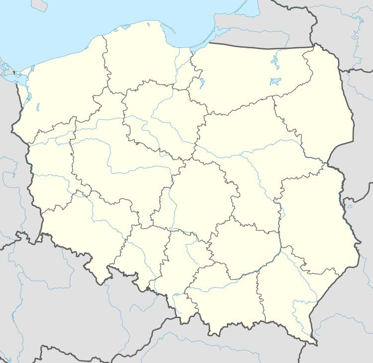
Maciejowice [mat͡ɕejɔˈvit͡sɛ] is a village in the administrative district of Gmina Otmuchów, within Nysa County, Opole Voivodeship, in south-western Poland, close to the Czech border. It lies approximately 5 kilometres (3 mi) north-west of Otmuchów, 15 km (9 mi) west of Nysa, and 60 km (37 mi) west of the regional capital Opole.
Map of Maciejowice, Poland
Before 1945 the area was part of Germany (see Territorial changes of Poland after World War II).
The village has a population of 750.
References
Maciejowice, Opole Voivodeship Wikipedia(Text) CC BY-SA