
Area 79.7 km² | Population 13,743 (2006) | |
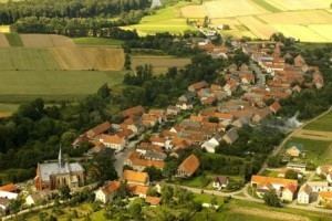 | ||
Gmina Paczków is an urban-rural gmina (administrative district) in Nysa County, Opole Voivodeship, in south-western Poland, on the Czech border. Its seat is the town of Paczków, which lies approximately 24 kilometres (15 mi) west of Nysa and 71 km (44 mi) west of the regional capital Opole.
Contents
Map of Gmina Paczk%C3%B3w, Poland
The gmina covers an area of 79.7 square kilometres (30.8 sq mi), and as of 2006 its total population is 13,743 (out of which the population of Paczków amounts to 8,147, and the population of the rural part of the gmina is 5,596).
Villages
Apart from the town of Paczków, Gmina Paczków contains the villages and settlements of Dziewiętlice, Frydrychów, Gościce, Kamienica, Kozielno, Lisie Kąty, Ścibórz, Stary Paczków, Trzeboszowice, Ujeździec, Unikowice and Wilamowa.
Neighbouring gminas
Gmina Paczków is bordered by the gminas of Kamieniec Ząbkowicki, Otmuchów, Ziębice and Złoty Stok. It also borders the Czech Republic.