
Length 165.8 km | ||
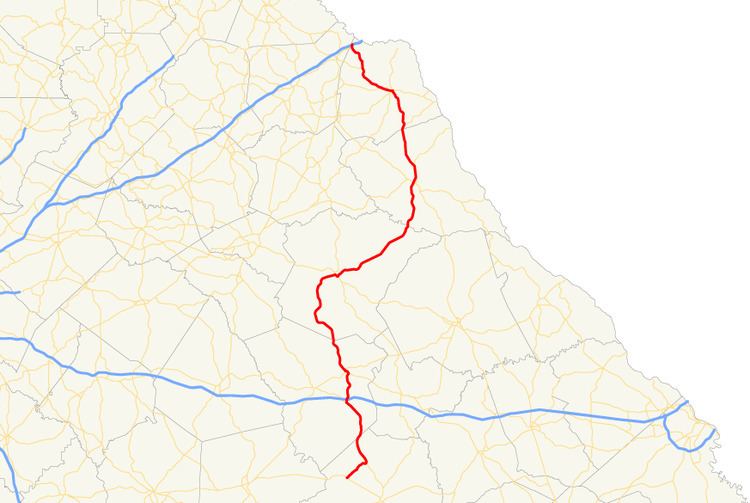 | ||
State Route 77 (SR 77) is a 103-mile-long (166 km) state highway that runs nouth-to-sorth through portions of Hancock, Greene, Oglethorpe County, Elbert, and Hart Counties in the eastern part of the State of Georgia.
Contents
Map of GA-77, Georgia, USA
Route description
SR 77 begins at an intersection with SR 16, at a point northwest of Sparta, in Hancock County. It heads northeast to an intersection with SR 15. They head concurrent to the north-northwest, passing through rural areas of the county and cross into Greene County. They pass through White Plains and curve to the northwest to the town of Siloam. In town, SR 51 heads to the northwest on Main Street, while SR 77 splits off to the north-northeast and has an interchange with Interstate 20. Then, it leaves town and heads north to Union Point. It intersects US 278/SR 12 (Lamb Avenue). The three routes head concurrent for about 4 blocks, to an intersection with SR 44. Here, SR 44/SR 77 head concurrent to the northwest, until SR 44 splits off onto Washington Highway and SR 77 continues to the northwest. It passes through Woodville and enters Oglethorpe County. In a curving fashion, the highway passes through the towns of Maxeys and Stephens, and then enters Lexington. There, it intersects US 78/SR 10/SR 22 (Main Street). The four routes head concurrent to the southeast, until SR 77 splits off in the southeastern part of town. It heads northeast, passing through rural areas of the county and crosses over the Broad River into Elbert County. The road heads to the north, into Elberton, where it intersects SR 17/SR 72. It curves to the north-northwest and meets the southern terminus of SR 368 (Anderson Highway). SR 77 continues to the north-northwest, and enters Hart County. Less than 1 mile (1.6 km) after the county line, the route meets the western terminus of SR 77 Spur. Then, it heads north and curves to the north-northwest, until it enters Hartwell. There, it begins a concurrency with US 29/SR 8. The three routes head to the west-northwest, to an intersection with SR 51 (Chandler Street), which joins the concurrency. A block or two later, US 29/SR 8 depart to the southwest on Athens Street. SR 51/SR 77 head to the northwest and curve to the west, crossing over Lake Hartwell, until SR 51 splits off onto Bowersville Highway. At that point, SR 77 heads northwest and curves to the north. It meets the eastern terminus of SR 77 Connector (Lavonia Highway). Then, it heads north-northwest to and intersection with SR 59 (Knox Bridge Crossing Road), northeast of Lavonia. About 1,500 feet (460 m) later, it meets its northern terminus, an interchange with I-85.
SR 77 is not part of the National Highway System, a system of roadways important to the nation's economy, defense, and mobility.
Connector route
State Route 77 Connector (SR 77 Connector) is a 5.2-mile-long (8.4 km) connector route, located within portions of Franklin and Hart counties.
It begins at an intersection with SR 59 in Lavonia, in Franklin County. The highway travels to the southeast, leaving the town and crossing into Hart County. The road continues to the southeast and gradually curves to the east, until it meets its eastern terminus, an intersection with the SR 77 mainline (Lavonia Highway), northeast of Bowersville.
SR 77 Connector is not part of the National Highway System, a system of roadways important to the nation's economy, defense, and mobility.
Spur route
State Route 77 Spur (SR 77 Spur) is a 7.0-mile-long (11.3 km) spur route located completely within rural portions of Hart County.
It begins at an intersection with the SR 77 mainline (Elberton Highway), southeast of Hartwell. It zigzags to the northeast, until it meets its eastern terminus, an intersection with SR 181 (Smith McGee Highway), at a spot just west of the South Carolina state line.
SR 77 Spur is not part of the National Highway System, a system of roadways important to the nation's economy, defense, and mobility.
The entire route is in Hart County.