
Time zone CST (UTC-6) Area 129.7 km² Population 3,300 (2010) | Created 1858 Elevation 205 m Local time Monday 3:19 PM Area code 217 | |
 | ||
ZIP codes 61817, 61832, 61834, 61841, 61846, 61858, 61883 Weather 14°C, Wind S at 32 km/h, 93% Humidity | ||
Catlin Township is a township in Vermilion County, Illinois, USA. As of the 2010 census, its population was 3,300 and it contained 1,342 housing units.
Contents
- Map of Catlin Township IL USA
- History
- Geography
- Cities and towns
- Extinct towns
- Adjacent townships
- Cemeteries
- Major highways
- Airports and landing strips
- Lakes
- School districts
- Political districts
- References
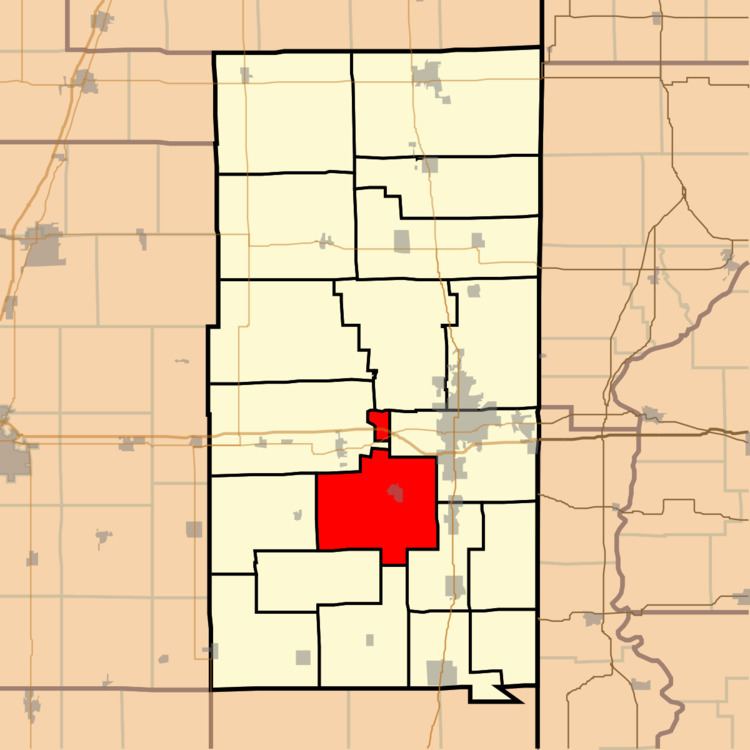
Map of Catlin Township, IL, USA
History
Catlin Township was created in 1858.
Geography
According to the 2010 census, the township has a total area of 50.07 square miles (129.7 km2), of which 49.79 square miles (129.0 km2) (or 99.44%) is land and 0.28 square miles (0.73 km2) (or 0.56%) is water.
Cities and towns
Extinct towns
Adjacent townships
Cemeteries
The township contains fourteen cemeteries: Allhands, Cox, Dougherty, God's Acre, Hickman, Jones Grove, Kight's, Mount Vernon, New Atherton, Oak Ridge, Pate, Songer, Spicer Family Plot and Wright Family.
Major highways
Airports and landing strips
Lakes
School districts
Political districts
References
Catlin Township, Vermilion County, Illinois Wikipedia(Text) CC BY-SA