
Time zone CST (UTC-6) Area 96.58 km² Population 612 (2010) | Created 1851 Elevation 207 m Local time Sunday 12:43 PM | |
 | ||
ZIP codes 61817, 61846, 61850, 61870, 61876 Weather 18°C, Wind S at 32 km/h, 36% Humidity | ||
Carroll Township is a township in Vermilion County, Illinois, USA. As of the 2010 census, its population was 612 and it contained 263 housing units.
Contents
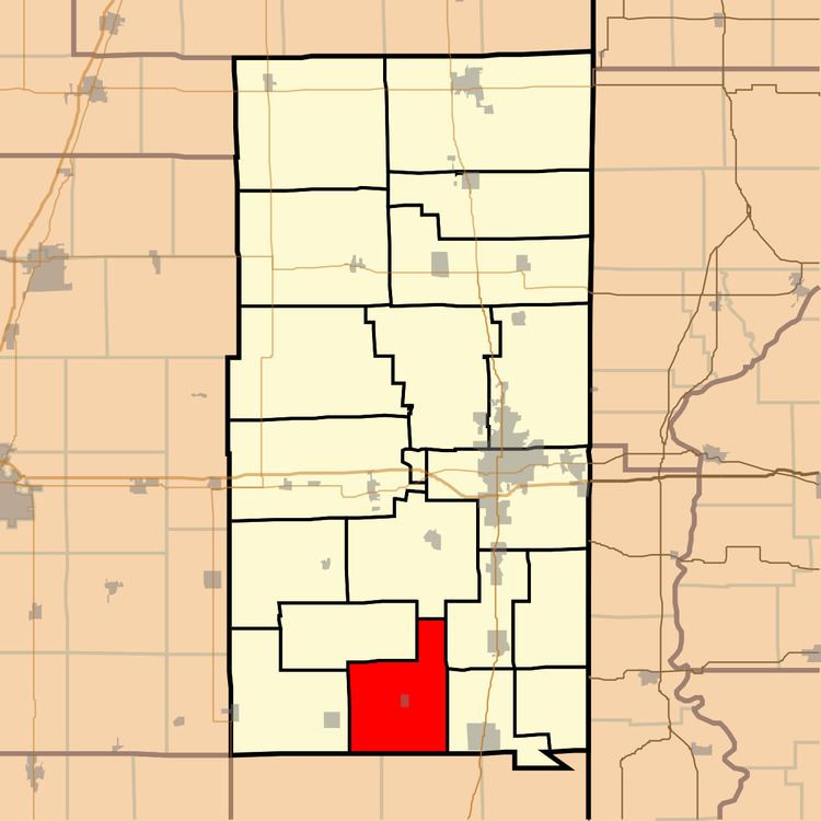
- Map of Carroll Township IL USA
- History
- Geography
- Cities and towns
- Extinct towns
- Adjacent townships
- Cemeteries
- School districts
- Political districts
- References
Map of Carroll Township, IL, USA
History
Carroll Township was one of the eight townships created in 1851. It was also the name of one of the original two townships created in March 1826, the other being called Ripley Township. It was probably named for Charles Carroll of Carrollton, a signer of the Declaration of Independence. Abraham Carroll, a resident of the area, may have influenced the choice.
Geography
According to the 2010 census, the township has a total area of 37.29 square miles (96.6 km2), all land.
Cities and towns
Extinct towns
Adjacent townships
Cemeteries
The township contains seven cemeteries: Lebanon, Michael, Sandusky, Stunkard, Weaver, Woodlawn and Workheiser.
School districts
Political districts
References
Carroll Township, Vermilion County, Illinois Wikipedia(Text) CC BY-SA