
- elevation 488 m (1,601 ft) Basin area 41,700 km² Discharge 940 m³/s Province Québec | - elevation 0 m (0 ft) Length 565 km Basin area 41,700 km² | |
 | ||
- average 940 m/s (33,200 cu ft/s) | ||
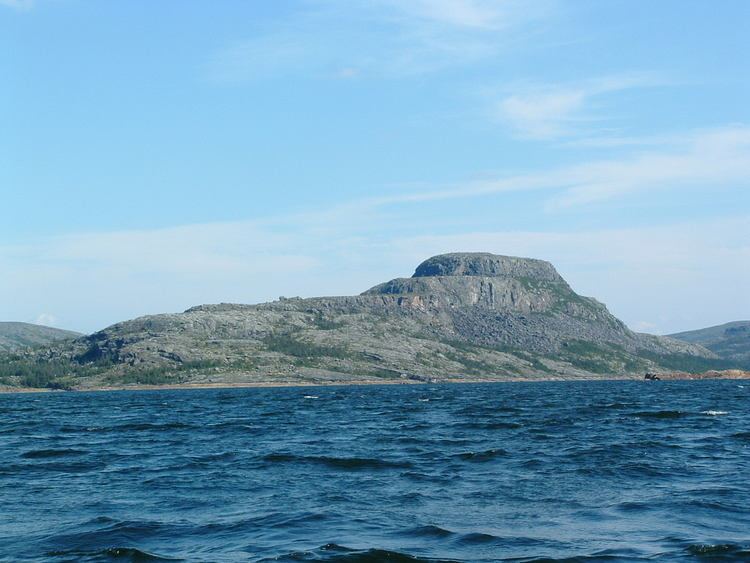
George River (Inuktitut: Kangirsualujjuap Kuunga (river of the great bay), Naskapi: Mushuan Shipu (River without trees), Innu: Metsheshu Shipu (Eagle River))) is a river in northern Quebec, Canada, that flows from Lake Jannière mainly north to Ungava Bay.
Contents
- Map of RiviC3A8re George RiviC3A8re Koksoak QC Canada
- Geography
- History
- George River caribou herd GRCH
- References
Map of Rivi%C3%A8re George, Rivi%C3%A8re-Koksoak, QC, Canada
The George is a big and wide river. It offers relatively easy and inexpensive access to Ungava Bay, compared to other major rivers of this area, making it popular for canoe camping trips.
Geography
The George River originates about 175 kilometres (109 mi) east of Schefferville in Lake Jannière, between bogs and swamps. The headwater lakes are shallow, connected by rushing rapids. After Lake Advance, the river runs through heavy whitewater until it reaches Indian House Lake (Naskapi: Mushuan Nipi (The big lake in the barrens)), which stretches 60 kilometres (37 mi) if measured by Canadian topo maps, or 100 kilometres (62 mi) if measured by its flatwater character.
After Indian House Lake, the George really starts to flow. It offers an abundance of rapids with various levels of difficulty until it reaches Kangiqsualujjuaq close to Ungava Bay. Because of its easy access, many people without the necessary experience and skills have travelled this river and unfortunately some lost their lives. The river is big and powerful – the French word "Fleuve", also used to describe the Saint Lawrence River, describes its character better than the word "Rivière". The power of the George leaves no room for error. Climatic conditions are ideal for hypothermia. Canoeists have to contend also with serious tidal effects in the last 40 kilometres (25 mi).
History
The George River was (re)named on 12 August 1811, by two Moravian missionaries Benjamin Gottlieb Kohlmeister and George Kmoch. These two missionaries came first to Okak in Labrador, then to Ungava Bay with a vision to evangelize the Inuit. They wrote in their diary: "We then proclaimed the name of the Kangertlualuksoak henceforth to be 'George River' ". The Moravian brothers wanted to honour George III, king of Great Britain and Ireland from 1760, who, in 1769, granted the Moravians land on the Labrador coast for permanent settlement.
In the winter of 1839–1840, the Hudson's Bay Company built a post called Fort Trial on the eastern shore of Indian House Lake. It was functional only until 15 June 1842. Well into the twentieth century, this lake appeared as "Erlandson's Lake" on charts, and Fort Trial was often referred to in HBC correspondence as "Erlandson's Post", named after Erland Erlandson, HBC clerk and the first European to travel overland from Hudson Strait to the Atlantic coast.
The George River was associated with the ill-fated Leonidas Hubbard expedition of 1903 and the subsequent successful canoe expeditions of Mina Hubbard and Dillon Wallace in 1905, and Hesketh Prichard in 1910.
George River caribou herd (GRCH)
The migratory George River caribou herd (GRCH), in the Ungava region of Quebec and Labrador in eastern Canada was once the world's largest herd with 800 000–900 000 animals. Although it is categorized as a subspecies Rangifer tarandus caribou, the woodland caribou, the GRCH is migratory and like the barren-ground caribou its ecotype may be tundra caribou, Arctic, northern of migratory, not forest-dwelling and sedentary like most Woodland caribou ecotypes. It is unlike most woodland caribou in that it is not sedentary.
The dramatic decline in numbers of the George River herd has raised concerns. In the 1980s there were between 700,000-800,000 in the herd caribou migrating between northern Quebec and Labrador. By 2010 there were 74,000. By 2012 the numbers dropped to 27,600 and by 2014 there were only 14,200.
The "George River herd which morphologically and genetically belong to the woodland caribou subspecies, at one time represented the largest caribou herd in the world and migrating thousands of kilometers from boreal forest to open tundra, where most females calve within a three week period. This behaviour is more like barren-ground caribou subspecies." They argued that "understanding ecotype in relation to existing ecological constraints and releases may be more important than the taxonomic relationships between populations."
According to a National Geographic Daily News article, the George River Caribou Herd (GRCH) (Rivière-George) numbered only 3,500 animals in the late 1940s. In 1958 the George River caribou herd was estimated to be numbered at 15,000. By 1988, it was the largest herd in the world with a population of 700,000. And by 1993 the numbers rose to 775,000 animals. By 2001, the herd was at 385,000 animals and continuing to decrease, totaling 75,000 animals in 2010. The most recent survey puts the herd size at fewer than 28,000. The George River herd, south of Ungava Bay, whose numbers reached about 800 000 towards 1993, had about 384 000 individuals in 2001.
In January 2013 the Innu, Inuit and Cree of Quebec and Nunatsiavut, NunatuKavut, and the Innu of Labrador formed the Ungava Peninsula Caribou Aboriginal Round Table held emergency meetings and issued a joint statement. in respond to the "critical decline" of the George River Caribou Herd (GRCH) and the "uncertain future" of the Leaf River Caribou Herd (LRCH) and Torngat Caribou Herds.
The land is changing and the impacts of climate change, industrial development, and the growing human population and easier accessibility of the herd cannot be ignored in the management actions to be put forward. With the exponential rate of development, the protection of caribou habitat is greatly deficient and needs to be addressed seriously.
The Government of Nunatsiavut recommended that the "George River caribou calving grounds by designating a 14,000 km2 protection zone under the Regional Land Use Plan for the Labrador Inuit Settlement Area."
Since the mid-1990s, the herd declined sharply and by 2010, it was reduced to 74,131—a drop of up to 92%.* A 2011 survey confirms a continuing decline of the George River migratory caribou herd population. By 2014 the herd was estimated to be about to 14 200, down from 27,600 in 2012, 74 131 in 2010 and 385 000 in 2001.