
 | ||
Brunei is a country in Southeastern Asia, bordering the South China Sea and East Malaysia. Its geographical coordinates are 4°30′N 114°40′E.
Contents
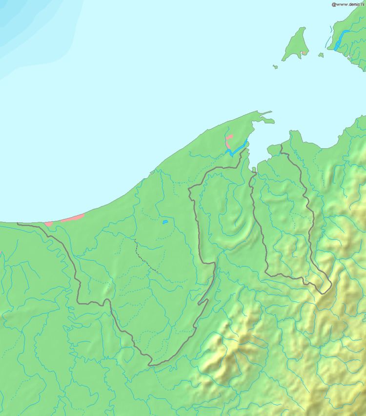
Brunei shares a 266 km (165 mi) border with Malaysia and has a 161 km (100 mi) coastline.
Climate
The climate in Brunei is tropical equatorial and humid subtropical at higher altitudes with heavy rainfall. Bandar Seri Begawan's climate is tropical equatorial with two seasons. Dry season is extremely hot (24 to 36 °C or 75.2 to 96.8 °F). Wet or rainy season is generally warm and wet (20 to 28 °C or 68.0 to 82.4 °F). Most of the country is a flat coastal plain with mountains in the east and hilly lowland in the west. The lowest point is at sea level and the highest is Bukit Pagon (1,850 m or 6,070 ft).
Climatic regions
Statistics
Area:
Area - comparative: similar to Norfolk, United Kingdom and slightly smaller than Delaware
Land boundaries: 266 km (165 mi) (all with Malaysia)
Coastline: 161 km (100 mi)
Maritime claims:
territorial sea: 12 nmi (13.8 mi; 22.2 km)
exclusive economic zone: 200 nmi (230.2 mi; 370.4 km) or to median line
Terrain: flat coastal plain, rises to mountain in east; hilly lowland in west
Elevation extremes:
lowest point: South China Sea 0m
highest point: Bukit Pagon 1,850 m
Natural resources: petroleum, natural gas, timber
Land use:
arable land: 0.76%
permanent crops: 1.14%
other: 98.10% (2012)
Irrigated land: 10 km2 (3.9 sq mi) (2003)
Total renewable water resources: 8.5 km3 (2.0 cu mi)
Freshwater withdrawal (domestic/industrial/agricultural)
total: 0.09 km3/yr (97%/0%/3%)
per capital: 301.6 m3/yr (2009)
Natural hazards: typhoons, earthquakes, and severe flooding are quite rare. Brunei is located at the Pacific Ring of Fire with Earthquakes regions.
Environment - current issues: seasonal smoke/haze resulting from forest fires in Indonesia
Environment - international agreements:
party to: Biodiversity, Climate Change, Endangered Species, Hazardous Wastes, Law of the Sea, Ozone Layer Protection, Ship Pollution
signed, but not ratified: none of the selected agreements
Geography - note: close to vital sea lanes through South China Sea linking Indian and Pacific Oceans; two parts physically separated by Malaysia; almost an enclave within Malaysia