
Time zone CST (UTC-6) Elevation 196 m Local time Saturday 4:08 PM | Established November 4, 1856 ZIP codes 61235, 61254 Area 94.25 km² Population 7,468 (2010) | |
 | ||
Weather 1°C, Wind NW at 13 km/h, 23% Humidity | ||
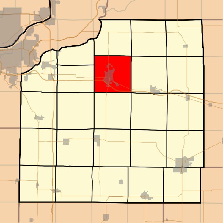
Geneseo Township is one of twenty-four townships in Henry County, Illinois, USA. As of the 2010 census, its population was 7,468 and it contained 3,407 housing units.
Contents
- Map of Geneseo Township IL 61254 USA
- Geography
- Cities towns villages
- Adjacent townships
- Cemeteries
- Major highways
- Airports and landing strips
- Landmarks
- School districts
- Political districts
- References
Map of Geneseo Township, IL 61254, USA
Geography
According to the 2010 census, the township has a total area of 36.39 square miles (94.2 km2), of which 36.31 square miles (94.0 km2) (or 99.78%) is land and 0.08 square miles (0.21 km2) (or 0.22%) is water.
Cities, towns, villages
Adjacent townships
Cemeteries
The township contains these three cemeteries: Mizpan, North and Oakwood.
Major highways
Airports and landing strips
Landmarks
School districts
Political districts
References
Geneseo Township, Henry County, Illinois Wikipedia(Text) CC BY-SA