
Time zone CST (UTC-6) Elevation 185 m Local time Tuesday 3:37 PM | Established November 4, 1856 ZIP codes 61235, 61254, 61277 Area 91.2 km² Population 1,274 (2010) | |
 | ||
Weather 19°C, Wind S at 18 km/h, 75% Humidity | ||
Atkinson Township is one of twenty-four townships in Henry County, Illinois, USA. As of the 2010 census, its population was 1,274 and it contained 592 housing units.
Contents
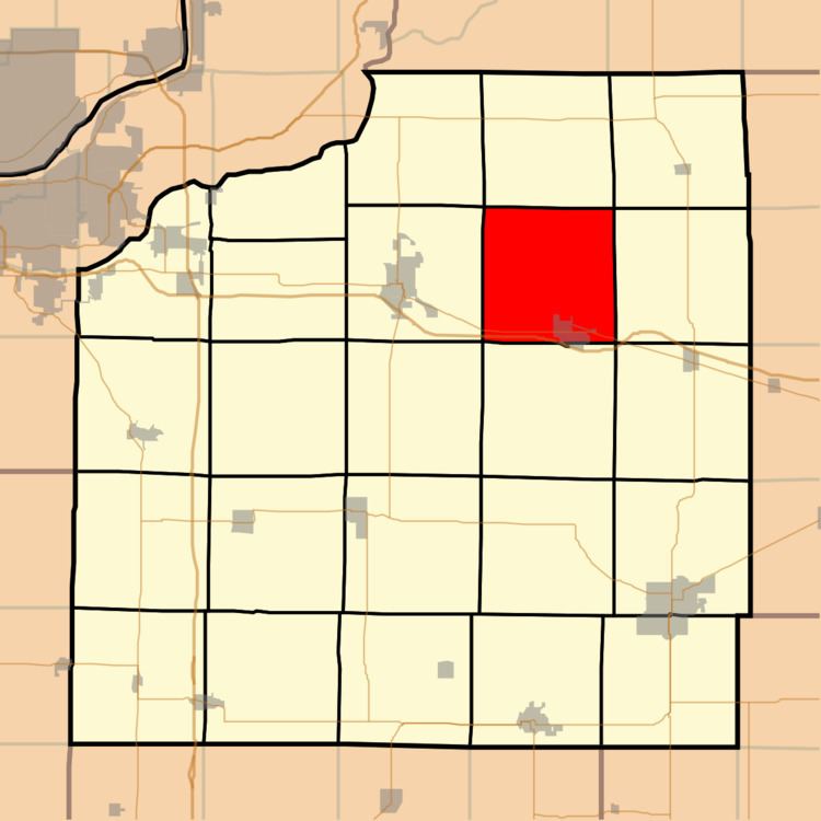
- Map of Atkinson Township IL USA
- Geography
- Cities towns villages
- Adjacent townships
- Cemeteries
- Major highways
- Landmarks
- School districts
- Political districts
- References
Map of Atkinson Township, IL, USA
Geography
According to the 2010 census, the township has a total area of 35.2 square miles (91 km2), of which 35.11 square miles (90.9 km2) (or 99.74%) is land and 0.09 square miles (0.23 km2) (or 0.26%) is water.
Cities, towns, villages
Adjacent townships
Cemeteries
The township contains Spring Creek Cemetery.
Major highways
Landmarks
School districts
Political districts
References
Atkinson Township, Henry County, Illinois Wikipedia(Text) CC BY-SA