
Time zone CST (UTC-6) Elevation 208 m Local time Wednesday 6:58 PM | Established November 4, 1856 ZIP codes 61241, 61254 Area 51.59 km² Population 2,344 (2010) | |
 | ||
Weather -2°C, Wind NW at 10 km/h, 48% Humidity | ||
Hanna Township is one of twenty-four townships in Henry County, Illinois, USA. As of the 2010 census, its population was 2,344 and it contained 923 housing units.
Contents
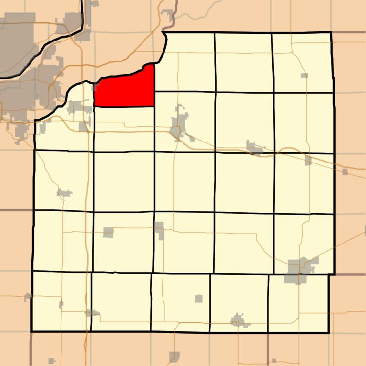
- Map of Hanna Township IL USA
- History
- Geography
- Cities towns villages
- Unincorporated towns
- Adjacent townships
- Cemeteries
- Landmarks
- School districts
- Political districts
- References
Map of Hanna Township, IL, USA
History
Hanna Township was named for Rev. Philip Hanna, a pioneer settler.
Geography
According to the 2010 census, the township has a total area of 19.92 square miles (51.6 km2), of which 19.18 square miles (49.7 km2) (or 96.29%) is land and 0.74 square miles (1.9 km2) (or 3.71%) is water.
Cities, towns, villages
Unincorporated towns
(This list is based on USGS data and may include former settlements.)
Adjacent townships
Cemeteries
The township contains these two cemeteries: Colbert and Hanna.
Landmarks
School districts
Political districts
References
Hanna Township, Henry County, Illinois Wikipedia(Text) CC BY-SA