
Length 33.8 km | ||
 | ||
History: Designated in 2008Completion in 2011 | ||
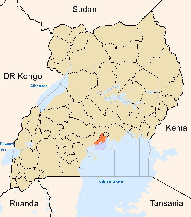
Gayaza–Ziroobwe Road is a road in central Uganda, connecting the towns of Gayaza in Wakiso District and Ziroobwe in Luweero District.
Contents
Map of Gayaza - Zirobwe Road, Kabanyoro, Uganda
Location
The road starts at Gayaza and goes through Namulonge, Busiika, and Bugema before ending in Ziroobwe, a distance of 33 kilometres (21 mi). The coordinates of the road near Bugema University in Luweero District are 0°34'14.0"N, 32°38'38.0"E (Latitude:0.570556; Longitude:32.643889).
Overview
Prior to 2007, the road had a gravel surface. In 2007, the government of Uganda began to upgrade the surface to bitumen at an estimated cost of US$40 million. The work, undertaken by Serbian firm Energoprojekt, began in March 2007 and was originally expected to be completed in November 2009. The construction and improvement of the road was extended to include the Kampala-Gayaza section of the road. Because of repeated delays, completion did not occur until June 2011.
Points of interest
The following points of interest also lie along or near the road: