
Constituency Kyaddondo North Number of airports 1 | County Kyaddondo Elevation 1,160 m | |
 | ||
Weather 27°C, Wind S at 14 km/h, 70% Humidity | ||
Namulonge researchers develop high yielding maize varieties
Namulonge is a location in the Central Region of Uganda.
Contents
- Namulonge researchers develop high yielding maize varieties
- Family claims ownership of namulonge land leased to sudhir ruparelia
- Location
- Overview
- Population
- Points of interest
- References
Family claims ownership of namulonge land leased to sudhir ruparelia
Location
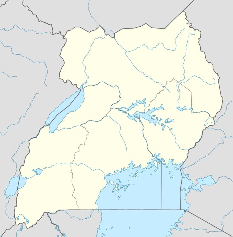
Namulonge is located in North Kyaddondo Constituency, Kyaddondo County, Wakiso District, in the Central Region of Uganda. Its location is approximately 10 kilometres (6.2 mi), by road, north of Gayaza. This location is approximately 30 kilometres (19 mi), by road, northeast of Kampala, Uganda's capital city. The coordinates of Namulonge are:00 31 30N, 32 36 54E (Latitude:0.5250; Longitude:32.6150).
Overview
Namulonge is a small town where the main employer is the National Crops Resources Research Institute, a public agricultural research institution. A civilian airport, Namulonge Airport, belonging to Namulonge Agronometry Station is located there. There is a golf course in town.
Population
The exact population of Namulonge is not known, as of January 2010.
Points of interest
The following points of interest lie within Namulonge or close to her borders: