
Time zone EAT (UTC+3) Local time Sunday 5:10 AM | Elevation 1,100 m | |
 | ||
Weather 18°C, Wind S at 5 km/h, 94% Humidity | ||
Ziroobwe is a town in Luweero District in the Central Region of Uganda. The correct phonetic spelling in the native Luganda language is "Ziroobwe".
Contents
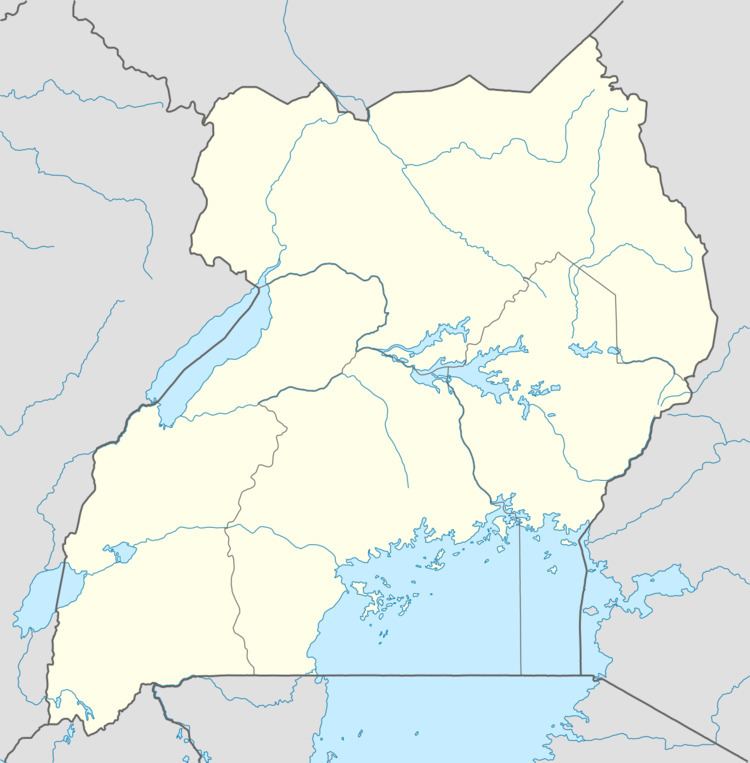
Map of Zirobwe, Uganda
Location
Ziroobwe is approximately 51 kilometres (32 mi), by road, north of Kampala, Uganda's capital and largest city. This is approximately 37 kilometres (23 mi), by road, southeast of Luweero, the site of the district headquarters. The coordinates of the town are 0°40'59.0"N, 32°42'04.0"E (Latitude:0.683056; Longitude:32.701111).
Population
In August 2012, the night-time population of the town was estimated at 5,000, swelling to an estimated 7,000 during working days.
Points of interest
The following additional points of interest are found in or near the town of Ziroobwe:
References
Ziroobwe Wikipedia(Text) CC BY-SA