- left North Ganaraska River - elevation 74 m (243 ft) Province Ontario | - elevation 344 m (1,129 ft) Basin area 278 km² | |
 | ||
- location | ||
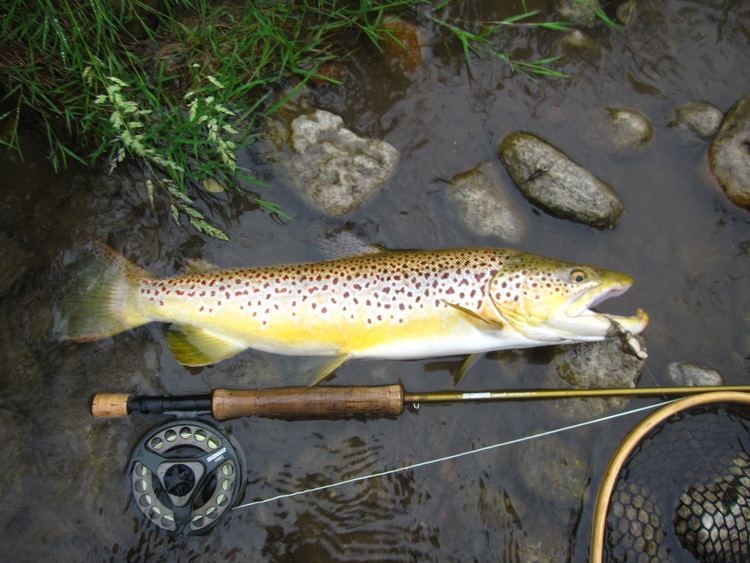
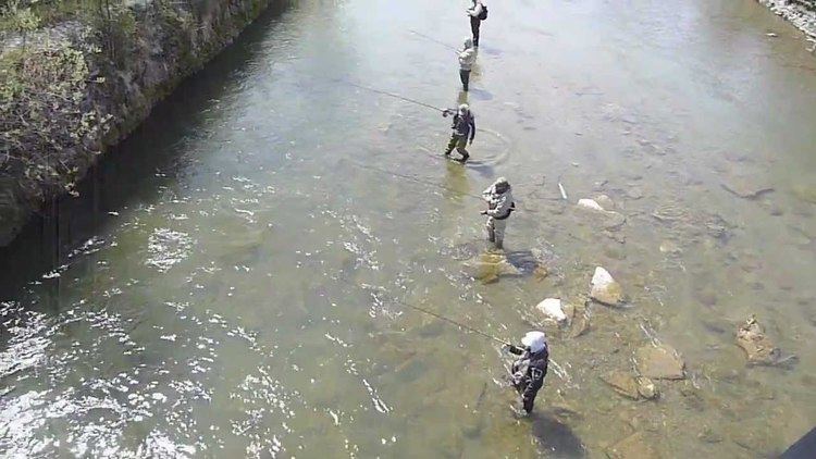
Salmon fishing on the ganaraska river in port hope ontario canada 2016 salmon run
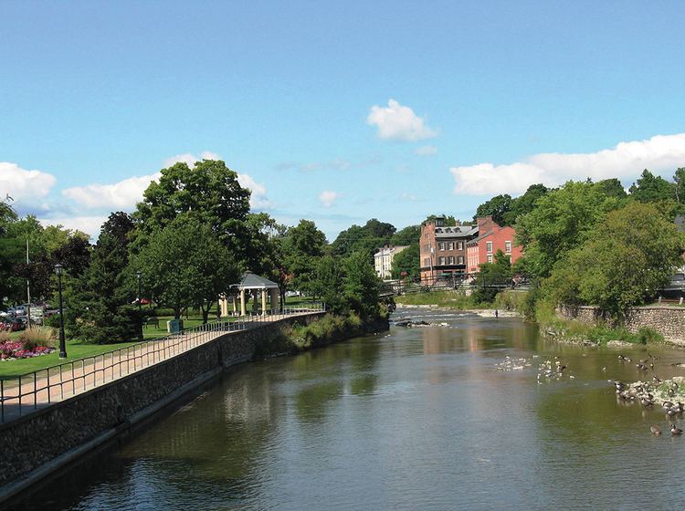
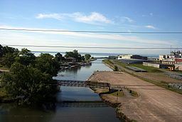
The Ganaraska River is a river in Northumberland County and the Regional Municipality of Durham in Southern Ontario, Canada. It is part of the Great Lakes Basin, and is a tributary of Lake Ontario, which it reaches at the central community of the municipality of Port Hope. The river's name is thought to originate from Ganaraske, the name for the Cayuga village which was located at the current site of Port Hope.
Contents
- Salmon fishing on the ganaraska river in port hope ontario canada 2016 salmon run
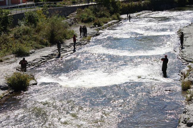
- Salmon run ganaraska river port hope 2016
- CourseEdit
- WatershedEdit
- Natural historyEdit
- Flood of 1980Edit
- References
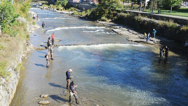
Salmon run ganaraska river port hope 2016
CourseEdit
The river begins on the Oak Ridges Moraine in the Ganaraska Forest in the municipality of Clarington, about 1.5 kilometres (0.9 mi) southeast of the junction of Ontario Highway 35 and Ontario Highway 115. It flows southeast past the community of Kendal, takes in the left tributary North Ganaraska RIver, then turns south to its mouth on the north shore of Lake Ontario.
WatershedEdit
Portions of the Ganaraska River drainage basin of 278 square kilometres (107 sq mi) extend into the City of Kawartha Lakes; the Township of Cavan–Monaghan, Peterborough County; and the Township of Hamilton, Northumberland County.
Natural historyEdit
There have been major conservation efforts in recent years.
It attracts anglers for salmon and trout. The Ganaraska River Fishway, a fish ladder, allows rainbow trout to travel up river to spawn.
Flood of 1980Edit
The river had a flood in 1980, that caused considerable damage to the Port Hope downtown area.