
Population 54,870 (2011) | Time zone EST (UTC-5) Province Ontario | |
 | ||
Founded 1838 (as District of Colborne) Municipalities ListAsphodel-NorwoodCavan-MonaghanDouro-DummerHavelock-Belmont-MethuenNorth KawarthaOtonabee-South MonaghanSelwynTrent Lakes Clubs and Teams Peterborough Petes, Norwood Vipers, Peterborough Stars, Peterborough Pets Points of interest Canadian Canoe Museum, Peterborough Lift Lock, Riverview Park & Zoo, Petroglyphs Provincial Park, Peterborough Museum & Archives Colleges and Universities Trent University, Master's College and Semi, Kawartha Lakes Bible Coll | ||
Peterborough County is located in Southern Ontario, Canada. The county seat is Peterborough, which is independent of the county.
Contents
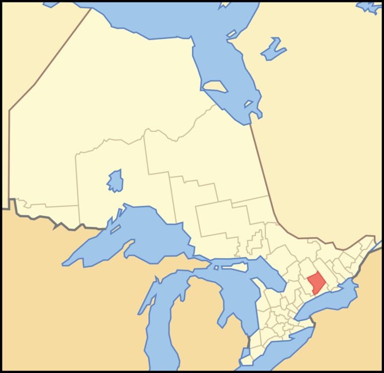
- Map of Peterborough County ON Canada
- Subdivisions
- History
- Demographics
- Cities
- TownsVillages
- Media
- References
Map of Peterborough County, ON, Canada
The southern section of the county is mix of agriculture, urban and lakefront properties. The northern section of the county is mostly sparsely populated wilderness with numerous rivers and lakes, mostly within the recently expanded Kawartha Highlands Provincial Park.
The County contains the Lang Pioneer Village, and the Kawarthas are a major tourist region.
Subdivisions
The county consists of eight townships:
Within the Peterborough census division but independent of county administration are two First Nations reserves:
The City of Peterborough is within the Peterborough County census division, but is separated from the county's administration.
History
The county was founded as the District of Colborne in 1838, centred on Peterborough, which became the County of Peterborough in 1850. In 1862, the County was redivided into Haliburton County, Peterborough County, and Victoria County (now the City of Kawartha Lakes). The centre of the County was originally the courthouse, which is still considered an important historical site.
The county was named in honor of Col. Peter Robinson, who in 1825 brought 2,000 settlers from Ireland. The route taken was by way of Port Hope, Rice Lake and the Otonabee River, the same route used by the first settlers that entered this region in 1818.
The county was originally divided in these townships:
Demographics
The figures below are for the Peterborough census division, which combines Peterborough County, the City of Peterborough and the two First Nations reserves.
The county is projected to reach a population of 159,840 by 2031, according to the Ontario Ministry of Finance's Ontario Population Projections Update
Historic populations:
The City of Peterborough makes up the majority of the population of the census division. Statistics for Peterborough County—without Peterborough and the First Nations reserves—are:
Cities
Towns/Villages
Media
In 1994, the Connection newspaper (previously known as Causeway Connection) established in Selwyn in central Peterborough County. The free monthly cottage country newspaper is distributed by mail, providing non-partisan news and information. The Connection is expanding both its distribution areas and internet presence.