
Time zone CST (UTC-6) Elevation 232 m Local time Thursday 8:00 PM | Established November 4, 1856 ZIP codes 61238, 61434, 61443 Area 88.81 km² Population 2,837 (2010) | |
 | ||
Weather 3°C, Wind N at 16 km/h, 63% Humidity | ||
Galva Township is one of twenty-four townships in Henry County, Illinois, USA. As of the 2010 census, its population was 2,837 and it contained 1,402 housing units.
Contents
- Map of Galva Township IL USA
- History
- Geography
- Cities towns villages
- Adjacent townships
- Cemeteries
- Major highways
- Landmarks
- School districts
- Political districts
- References
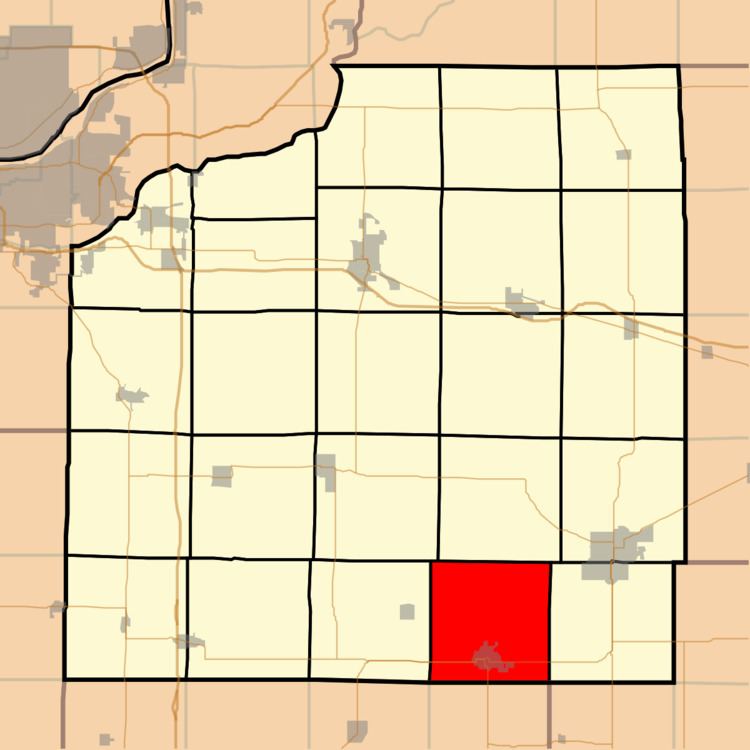
Map of Galva Township, IL, USA
History
Galva Township was named by Olaf Johnson, a native of Gävle, in Sweden.
Geography
According to the 2010 census, the township has a total area of 34.29 square miles (88.8 km2), of which 34.28 square miles (88.8 km2) (or 99.97%) is land and 0.01 square miles (0.026 km2) (or 0.03%) is water.
Cities, towns, villages
Adjacent townships
Cemeteries
The township contains Saint Johns Cemetery.
Major highways
Landmarks
School districts
Political districts
References
Galva Township, Henry County, Illinois Wikipedia(Text) CC BY-SA