
Time zone CST (UTC-6) Area 88.97 km² Population 422 (2010) | Established November 4, 1856 Elevation 220 m Local time Sunday 7:50 PM | |
 | ||
ZIP codes 61238, 61414, 61419, 61434, 61490 Weather 23°C, Wind S at 19 km/h, 60% Humidity | ||
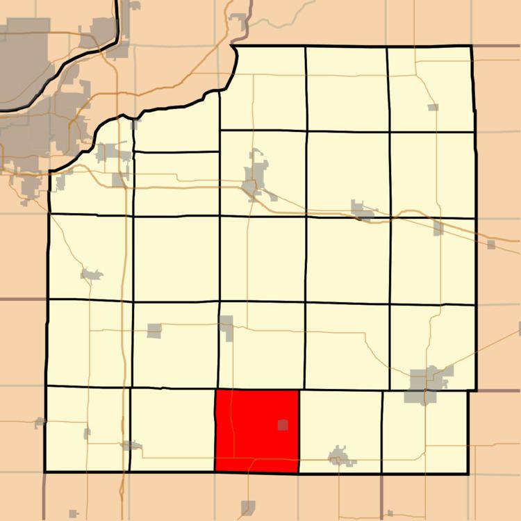
Weller Township is one of twenty-four townships in Henry County, Illinois, USA. As of the 2010 census, its population was 422 and it contained 197 housing units.
Contents
- Map of Weller Township IL USA
- Geography
- Cities towns villages
- Unincorporated towns
- Adjacent townships
- Cemeteries
- Major highways
- School districts
- Political districts
- References
Map of Weller Township, IL, USA
Geography
According to the 2010 census, the township has a total area of 34.35 square miles (89.0 km2), of which 34.34 square miles (88.9 km2) (or 99.97%) is land and 0.01 square miles (0.026 km2) (or 0.03%) is water.
Cities, towns, villages
Unincorporated towns
(This list is based on USGS data and may include former settlements.)
Adjacent townships
Cemeteries
The township contains these three cemeteries: Bishop Hill, Piatt and Red Oak.
Major highways
School districts
Political districts
References
Weller Township, Henry County, Illinois Wikipedia(Text) CC BY-SA