
Length 2,685 km | ||
 | ||
North end: Erenhot, Xilin Gol League, Inner Mongolia (when complete)Baiyinchagan, Chahar Right Back Banner, Ulanqab, Inner Mongolia (current) | ||
The Erenhot–Guangzhou Expressway (Chinese: 二连浩特—广州高速公路), commonly referred to as the Erguang Expressway (Chinese: 二广高速公路) is an expressway that connects the cities of Erenhot, Inner Mongolia, China, and Guangzhou, Guangdong. When fully complete, it will be 2,685 km (1,668 mi) in length.
Contents
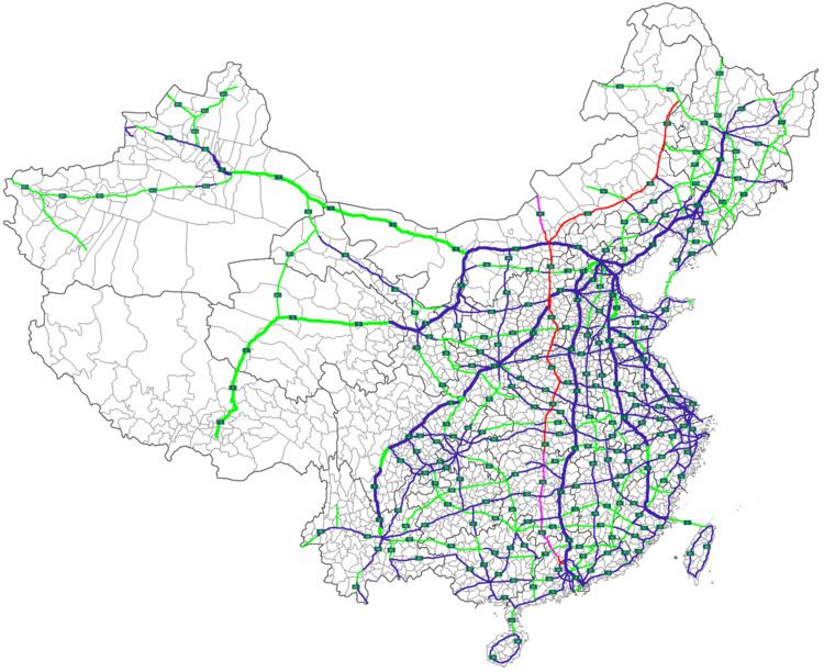
Map of G55, China
Inner Mongolia
Erenhot, the northern terminus of the expressway, is a border town with Mongolia and has a border checkpoint. The expressway is under construction from Erenhot to Baiyinchagan in Ulanqab, and complete from Baiyinchagan to the Shanxi border.
Shanxi
The entire portion of the expressway in Shanxi is complete.
Henan
The entire portion of the expressway in Henan is complete.
Hubei
The entire portion of the expressway in Hubei is complete except for 3 km (1.9 mi) of expressway to the Hunan border.
Hunan
The entire portion of the expressway in Hunan is under construction. This section has been beset by delays and cost overruns.
Guangdong
The expressway is under construction from the Hunan border to Huaiji County, Zhaoqing, and complete from Huaiji County to the southern terminus, Guangzhou.