
Elevation 2,548 m (8,360 ft) Area code +1 | Founded 20 April 1537 Population 75,350 (2015) | |
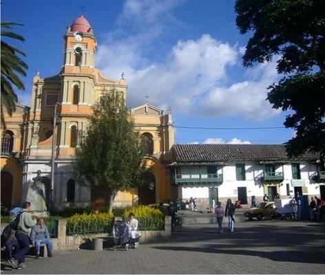 | ||
Weather 19°C, Wind N at 5 km/h, 65% Humidity Points of interest Funza Main Park, Villa Olimpica, Furatena Park | ||
Funza ([ˈfunsa]) is a municipality and town of Colombia in the Western Savanna Province, of the department of Cundinamarca. Funza is situated on the Bogotá savanna, the southwestern part of the Altiplano Cundiboyacense with the urban centre at an altitude of 2,548 metres (8,360 ft). In and around Funza wetlands remain to exist, the remnants of the Pleistocene Lake Humboldt. The town is part of the Metropolitan Area of Bogotá and borders Madrid and Tenjo in the north, Mosquera in the south, Madrid in the west and Cota and the locality Engativá of the capital Bogotá in the east. The eastern boundary is formed by the Bogotá River.
Contents
Map of Funza, Cundinamarca, Colombia
Etymology
The name Funza comes from Chibcha and means "Powerful lord".
History
In the times before the Spanish conquest, Funza was an important village in the Muisca Confederation. This loose confederation of rulers of the Muisca had as southern ruler the zipa based in Bacatá. It is said that the actual location of Bacatá was in Funza.
Modern Funza was founded by conquistador Gonzalo Jiménez de Quesada en route in his search for El Dorado on April 20, 1537.
On January 21, 1972, a Líneas Aéreas La Urraca flight crashed in Funza after an explosion on board.
Economy
The economy of Funza is based on agricultural and industrial activities. Main agricultural products are potatoes and maize. Other industries involve plastics and metalcraft production.