
Founded 29 November 1604 Elevation 2,566 m (8,419 ft) Population 24,916 (2015) | Founded by Diego Gómez de Mena Area 55 km² Local time Monday 9:41 PM | |
 | ||
Weather 16°C, Wind NW at 5 km/h, 86% Humidity | ||
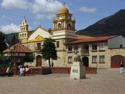
Cota is a municipality and town of Colombia in the Central Savanna Province of the department of Cundinamarca. Cota is part of the metropolitan area of Colombian capital Bogotá which centre is 26 kilometres (16 mi) away. The urban centre of Cota is located at an altitude of 2,566 metres (8,419 ft) and the municipality borders Chía in the north, Funza in the south, Suba, part of Bogotá in the east and Tenjo in the west.
Contents
Map of Cota, Cundinamarca, Colombia
History
In the time before the Spanish conquest, the Bogotá savanna was inhabited by the Muisca, organized in the southern Muisca Confederation. The ruler of Bacatá (zipa) controlled Cota. The Muisca called the town Gota, which is either a personal name of derived from cota; "curl". Cota still has a surviving Muisca population.
Modern Cota was founded on November 29, 1604 by Diego Gómez de Mena.
In 2010 a baptistery of the Church of God Ministry of Jesus Christ International was built in Cota.
Economy
Cota has a small economy mainly based on agriculture; cabbage and lettuce.