Samiksha Jaiswal (Editor)

Hima, Uganda

Updated on
Edit
Like
Comment
Share on FacebookTweet on TwitterShare on LinkedInShare on Reddit
Country
  
Uganda

Sub-region
  
Rwenzururu sub-region

Climate
  
Aw

Local time
  
Saturday 11:41 PM

Region
  
Western Uganda

District
  
Kasese District

Elevation
  
980 m

Hima, Uganda

Weather
  
22°C, Wind N at 3 km/h, 63% Humidity

Hima is a town in Kasese District, Western Uganda.

Contents

Map of Hima, Uganda

Location

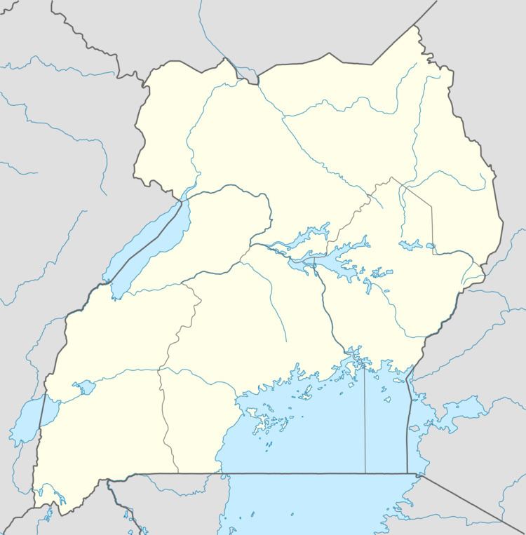
Hima lies on the main highway between Kasese and Fort Portal. The town is located approximately 18 kilometres (11 mi), by road, north of Kasese, the largest town in the Rwenzururu sub-region. The coordinates of the town are:0°17'26.0"N, 30°10'39.0"E (Latitude:0.290556; 30.177500).

Population

The 2002, the national population census gave the population of Hima at 21,520. In 2010 the Uganda Bureau of Statistics (UBOS) estimated the population at 28,700. In 2011, UBOS estimated the mid-year population at 29,700.

Points of interest

The following points of interest lie within Hima or near its borders:

  • Hima Cement Limited - A subsidiary of French multinational, Lafarge, is the second-largest manufacturer of cement in Uganda, producing about 850,000 metric tonnes annually. Tororo Cement Limited, in Tororo, the leading Ugandan cement manufacturer produces about 1,100,000 metric tonnes annually.
  • Hima Central Market - The largest fresh-produce market in the town.
  • The offices of Hima Town Council
  • The Fort Portal-Kasese Highway - The highway passes through the town in a north to south direction.
  • References

    Hima, Uganda Wikipedia