Kalpana Kalpana (Editor)

Forest of Dean District

Updated on
Edit
Like
Comment
Share on FacebookTweet on TwitterShare on LinkedInShare on Reddit
Sovereign state
  
United Kingdom

Region
  
South West England

Admin HQ
  
Coleford

University
  
Hartpury College

Constituent country
  
England

Non-metropolitan county
  
Gloucestershire

Area
  
526.4 kmĀ²

Forest of Dean District httpsmediacdntripadvisorcommediaphotos01

Status
  
Non-metropolitan district

Points of interest
  
Forest of Dean, Puzzlewood, Clearwell Caves, Dean Heritage Centre, Coleford Great Western

Destinations
  
Forest of Dean, Chepstow, Symonds Yat, Newent, Lydney

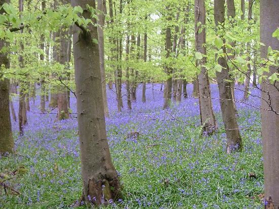
Forest of Dean is a local government district in Gloucestershire, England, named after the Forest of Dean. Its council is based in Coleford. Other towns in the district include Cinderford, Newent and Tidenham.

Contents

Map of Forest of Dean District, UK

The district was formed on 1 April 1974 under the Local Government Act 1972, as a merger of the East Dean Rural District, Lydney Rural District, Newent Rural District and West Dean Rural District, and from Gloucester Rural District the parishes of Newnham and Westbury-on-Severn.

Parishes and settlements

  • Alvington, Awre, Aylburton
  • Blaisdon, Bream, Brockweir, Bromsberrow, Blakeney
  • Churcham, Cinderford, Coleford, Corse
  • Drybrook, Dymock
  • Ellwood, English Bicknor
  • Gorsley and Kilcot
  • Hartpury, Hewelsfield, Highleadon, Huntley
  • Kempley
  • Littledean, Little London, Longhope, Lydbrook, Lydney
  • Mitcheldean
  • Newent, Newland, Newnham
  • Oxenhall
  • Pauntley
  • Redmarley D'Abitot, Ruardean, Rudford, Ruspidge
  • Soudley, St. Briavels, Staunton (near Coleford), Staunton (near Gloucester), Symonds Yat
  • Taynton, Tibberton, Tidenham
  • Upleadon
  • Westbury-on-Severn, West Dean, Woolaston
  • References

    Forest of Dean District Wikipedia