
Population 2,472 (2011) Sovereign state United Kingdom Local time Saturday 1:41 AM | OS grid reference SO652119 | |
 | ||
Weather 6°C, Wind N at 14 km/h, 83% Humidity | ||
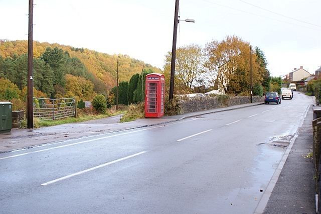
Ruspidge is a village in the Forest of Dean district of west Gloucestershire, England. The civil parish includes Soudley
Map of Ruspidge, Cinderford, UK
It is located near the town of Cinderford and in the Forest of Dean. There are two public houses which are opposite each other, these are The Rising Sun and the New Inn.
There is one village shop on the main street (Ruspidge Road), a park and football pitch, as well as a chapel, lying on Railway Road. It is named such because the Ruspidge Halt railway station was situated at the end before its closure in 1958.
Its grid reference is SO 655 125 GB.
References
Ruspidge Wikipedia(Text) CC BY-SA