
- elevation 1,079 ft (329 m) | Length 180 km | |
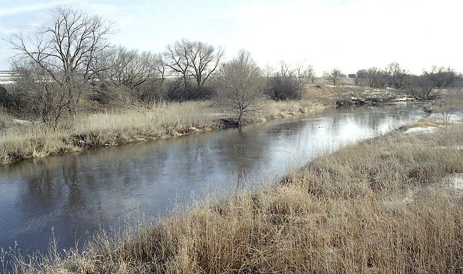 | ||
The Floyd River is a tributary of the Missouri River, 112 miles (180 km) long, in northwestern Iowa in the United States. It enters the Missouri at Sioux City, and is named for Charles Floyd, a member of the Lewis and Clark Expedition.
Contents
Map of Floyd River, Iowa, USA
CourseEdit
The Floyd River rises in northwestern O'Brien County near the town of Sanborn and flows generally southwestwardly through Sioux, Plymouth and Woodbury counties, past the towns of Sheldon, Hospers, Alton, Le Mars, Merill, and Hinton. At Merrill the Floyd collects its largest tributary, the West Branch Floyd River, which is about 40 mi (65 km) long. The West Branch rises near Boyden in northeastern Sioux County and flows generally southward into Plymouth County, past Maurice and Struble. The Floyd enters Woodbury County near the Leeds neighborhood of Sioux City.
The Floyd River has come out of its banks on several occasions, causing distastrous flooding in Sioux City in 1892 and 1953. The river has since been the focus of an intensive flood control project. The Floyd's lower channel through Sioux City has been straightened, channelized, lined with riprap and banked by a high earthen levee.
The Floyd River is the site of frequent fish kills caused by runoff of massive amounts of animal waste from farm feedlots into the river.