
Existed: 1945 – present Constructed 1945 | Length 44.21 km | |
 | ||
North end: US 98 / US 301 near Dade City | ||
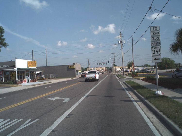
State Road 39 (SR 39) is a north–south state highway in eastern Pasco and Hillsborough County, Florida, United States. Between Plant City and Zephyrhills, the road is named Paul S. Buchman Highway. North of Zephyrhills, Florida the road is a secret state designation for U.S. Route 301 until the southern terminus of the concurrency with U.S. Route 98 south of Dade City, Florida.
Contents
- Map of FL 39 Florida USA
- Hillsborough County
- Pasco County and beyond
- Hillsborough and Manatee Counties
- Hernando County
- Citrus County
- Former proposals
- References
Map of FL-39, Florida, USA
Hillsborough County
State Road 39 begins at the SR 60 and County Road 39 in Hopewell. The road enters the Plant City Limits at Trapnell Road. An overhead sign gantry points to a truck detour as the road approaches State Road 39A (West Alexander Street), and further north, although East Alexander Street continues as a four-lane divided highway toward Jim Johnson Road. Another truck detour sign gantry can be found at the southern terminus of State Road 553 (Park Road). A third "temporary" truck route is signed along Alabama and Wheeler Streets through downtown. At Grant Street, the James L. Redman Parkway becomes South Collins Street, but from there it also shares a concurrency with County Road 574A, until it reaches East Alsobrook Street. Further into the city, SR 39 has a pair of at-grade crossings with the west end of CSX wye between the Yeoman and Plant City Subdivisions at the intersection with Laura Street.
After the intersection with Dr. Martin Luther King Jr. Boulevard, it crosses the CSX Lakeland Sudivision, which carries Amtrak's Silver Star line, and enters the Downtown Plant City Commercial District where two blocks later intersects eastbound U.S. Route 92 (State Road 600/State Road 574). Here this route also splits as South Collins Street contains only Northbound SR 39, and then turns onto westbound US 92 (SR 600) two blocks later, only to reunite with southbound SR 93 at North Wheeler Street, two blocks west of there. Simultaneously, Southbound SR 39continues along North Wheeler Street and then turns left onto eastbound US 92 until it reunites with the northbound route at South Collins Street. From here it enters the Downtown Plant City Historic Residential District which ends just south of the interchange with Interstate 4 (Exit 21), which also contains frontage roads that serve as the northern terminus of SR 39A, and thus the northern terminus of the western Plant City truck route. North of the interchange with I-4, much of SR 39 runs along the west side of the Yeoman Subdivision as it becomes the Paul S. Buckman Highway. SR 39 itself does not leave Plant City until the intersection with County Road 580, which is not only a county extension of State Road 580 in Tampa and Pinellas County to the west, but as the northern terminus of the Eastern Plant City truck route. The next major intersection is County Road 582 (Knights-Griffin Road) in Knights, which likewise is a county extension of State Road 582, but unlike CR 580, crosses over into Polk County. After passing by the Blackwater Ultralight Flightpath, SR 39 and the Yeoman Subdivision both run near a mine just south of the Hillsborough-Pasco County Line.
Pasco County and beyond
In Crystal Springs the road moves away from the Yeoman Subdivision in south of the Hillsborough River, but still remains at a northwesterly direction. Just north of the river, it gradually enters Zephyrhills South where the first major intersection is County Road 535. The road serves as the entrance to the Shady Oaks trailer park and after intersecting Tucker road, meets a wye intersection with U.S. Route 301 and then becomes a hidden route, shared with State Road 41. US 301-SRs 39-41 all enter the City of Zephyrhills and serve as the eastern terminus of State Road 54 at Fifth Avenue. Some maps suggest that it also take SR 54 with it as a hidden route until it reaches Eiland Boulevard. When SR 41 branches off to the northwest and becomes CR 41, SR 39 becomes the sole hidden route for US 301 until the southern terminus of the US 98 (SRs 35-700) multiplex in Clinton Heights, south of Dade City. North of there, it serves as a hidden route for US 98 along with State Road 700, and apparently continues towards northern terminus of the US 98-301 multiplex in Trilacoochee where US 301 runs along SR 35, while US 98-SR 700 runs towards a multiplex with SR 50 in Ridge Manor.
In 2007, a resurfacing project of US 98-301 in Dade City led to the exposure of the road's status as State Road 39, as detour signs popped up around downtown. This was also part of an effort to realign US 98-301 to the truck route. SRs 35 & 700 remain hidden state roads in this segment, while mainline US 98-301 follows the former truck route along hidden SR 533.
Hillsborough and Manatee Counties
South of SR 60 former State Road 39 continues as County Road 39, through Manatee County into SR 62 near Duette. The road is known as Kickliter Road from SR 62 to State Road 674 in Fort Lonesome, and Plant City-Picnic Road from SR 674 to SR 60.
Hernando County
In and around Ridge Manor, former SR 39 ran along what is today US 98(SR 700) and old SR 50 to Croom-Rital Road. It then broke away from US 98/SR 50 and was the designation for Croom-Rital Road, a street which runs along what today is the Withlacoochee State Trail, until reaching the unincorporated hamlet of Croom. North of Croom Road, SR 39 went on to Nobleton Road, which is a dirt road that also follows the Withlacoochee State Trail until it becomes the paved Edgewater Avenue, and crosses the trail heading into scenic Nobleton, where it terminates and used to turn west to overlap CR 476. In Istachatta, another former section exists as County Road 439, then crosses into Citrus County.
Citrus County
When the road crosses into Pineola in Citrus County, it resumes its designation as County Road 39, however the designation exists in two sections. It winds along the Withlacoochee State Trail, but eventually the trail moves to the northwest. After running across Bradley Lake, it finally terminates at County Road 48. The journey of former SR 39 does not end there though, as it secretly overlaps westbound along CR 48 towards Floral City. North of Floral City, former SR 39 runs along Old Floral City Avenue, where it runs along the Withlacoochee State Trail past County Road 39A, and Fort Cooper State Park, before entering Inverness South.
Again between Stoke's Ferry at State Road 200 and US 41 in Citrus Springs, County Road 39 winds along the south side of the Withlacoochee River as the Withlacoochee Trail.
Former proposals
In the early 20th century, a connection between County Road 48 and SR 200 was planned to run along the west-north side of the Withlacoochee River. This is why there are two sections of CR 39 in Citrus County. It was proposed to end at US 41.