
Country United States Local time Tuesday 11:02 PM | Time zone Eastern (EST) (UTC-5) | |
 | ||
Weather 14°C, Wind NW at 18 km/h, 60% Humidity | ||
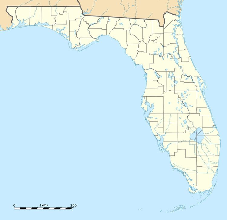
Fort Lonesome is a rural ghost town located in southeastern Hillsborough County, Florida, United States, 36 miles southeast of Tampa. Its location is also west of the Little Manatee River State Park. A sawmill briefly revived the area with a few houses and three stores in the early 1930s. It was short lived: a fire destroyed the mill and eventually the "town" deceased. Today, it's mainly a farming region.
Contents
Map of Fort Lonesome, FL 33547, USA
Geography
Fort Lonesome is located at 27.7 degrees north, 82.1 degrees west (27.705, -82.146). The elevation for the community is 121 feet above sea level. This location is the intersection of State Road 674 (Ruskin-Wimauma Rd) & County Road 39S which is the site of a gas station and power sub station.
Education
The community is served by Hillsborough County Schools.