
Formed 15 February 1984 Website Official Website Metropolitan area 197.3 km² Population 1.437 million (2015) | Time zone BST (UTC+6) District area 990.4 km² Postal code 3900 | |
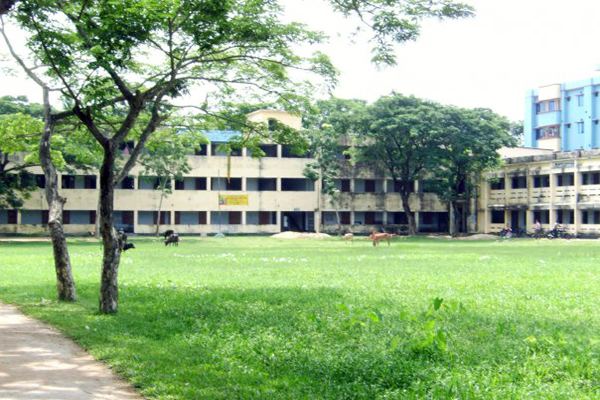 | ||
Feni district documentary
Feni is a district located in the South-Eastern part of Bangladesh Administrative division of Chittagong . As of 2015, the district's estimated population stood at 1,437,371, making it the ninth-most populous district in Chittagong Division. The administrative hub of the district is in Feni Sadar, in the central section of the district. The original name of the district was Shamshernagar, which served as a sub-district under the district of Noakhali until 15 February 1984. The district consists of six sub-districts: Sonagazi, Fulgazi, Parshuram, Daganbhuiyan, Chhagalnaiya and Feni Sadar. According to Bangladesh Bank, the district is ranked second in nation in terms of gross national income (GNI) and possession of wealth.
Contents
- Feni district documentary
- Map of Feni District Bangladesh
- Feni district chittagong bangladesh
- Administrative Area
- References
Map of Feni District, Bangladesh
Feni district chittagong bangladesh
Administrative Area
Feni district has 6 upazilas, 6 thanas, 5 municipalities, 43 unions, 564 villages and 540 mouzas.