
Area 165.8 km² | Time zone BST (UTC+6) | |
 | ||
Website Official Map of Dagonbhuiyan | ||
Dagonbhuiyan (Bengali: দাগনভূইয়া) is an Upazila of Feni District in the Division of Chittagong, Bangladesh. Dagonbhuiyan is a commercial centre with one of Bangladesh's biggest cotton spinning mills.
Contents
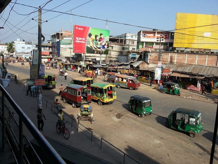
Map of Daganbhuiyan, Bangladesh
Geography
Dagonbhuiyan is located at 22.9375°N 91.3042°E / 22.9375; 91.3042. It has 34750 households and a total area of 165.84 km².
Demographics
According to the 1991 Bangladesh census, Dagonbhuiyan had a population of 204, 975. Males constituted 49.4% of the population, and females 50.6%. The population aged 18 or over was 95, 809. Dagonbhuiyan had an average literacy rate of 40.7% (7+ years), against the national average of 32.4%.
Administration
Dagonbhuiyan has 8 Union Parishad. The Union Parishads are:
References
Daganbhuiyan Upazila Wikipedia(Text) CC BY-SA