
Elevation 851 m (2,792 ft) Area 24.8 km² Dialling code 0472 | Time zone CET (UTC+1) Local time Friday 2:51 PM Postal code 39043 | |
 | ||
Frazioni Garn (Caerne), Schnauders (Snodres), Schrambach (San Pietro Mezzomonte), Tschiffnon (Giovimano) Weather 10°C, Wind N at 19 km/h, 27% Humidity Region Trentino-Alto Adige/South Tyrol | ||
Feldthurns
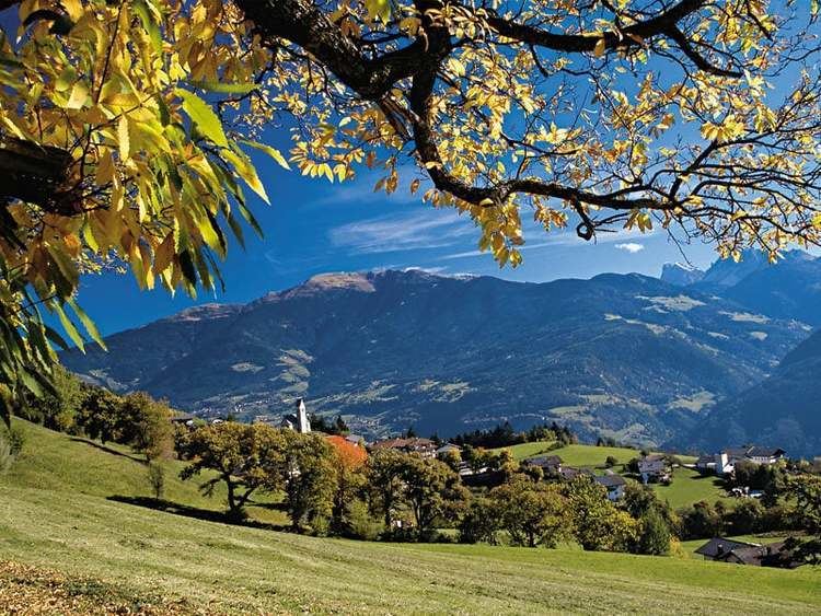
Feldthurns ( [fɛlˈtʊrns]; Italian: Velturno [velˈturno]) is a comune (municipality) in South Tyrol in northern Italy about 25 kilometres (16 mi) northeast of Bolzano.
Contents
- Feldthurns
- Map of 39040 Feldthurns Province of Bolzano South Tyrol Italy
- Mit dem ball vom tiefsten zum h chsten punkt von feldthurns
- Geography
- Frazioni
- Coat of arms
- Linguistic distribution
- References
Map of 39040 Feldthurns, Province of Bolzano - South Tyrol, Italy
Mit dem ball vom tiefsten zum h chsten punkt von feldthurns
Geography
As of 30 November 2010, it had a population of 2,740 and an area of 24.8 square kilometres (9.6 sq mi).
Feldthurns borders Brixen, Klausen, Villnöß and Vahrn.
Frazioni
The municipality of Feldthurns contains the frazioni (subdivisions, mainly villages and hamlets) Garn (Caerne), Schnauders (Snodres), Schrambach (San Pietro Mezzomonte), Tschiffnon (Giovimano).
Coat-of-arms
The emblem is party per fess: in the first part it's represented two embattled towers of gules, the second is checky of gules. It's the canting arms used in 1607 in the castle by the Bishops of Brixen and symbolize the German name of the municipality: towers (Thurn) over the fields (Feld). The emblem was granted in 1966.
Ötzi the Iceman is attested to have spent his childhood here, some 5,300 years ago.
Linguistic distribution
According to the 2011 census, 98.33% of the population speak German, 0.91% Italian and 0.76% Ladin as first language.