
Elevation 523 m (1,716 ft) | Local time Thursday 4:06 AM | |
 | ||
Region Trentino-Alto Adige/Südtirol Frazioni Gufidaun (Gudon), Latzfons (Lazfons), Verdings (Verdignes) Weather 7°C, Wind N at 8 km/h, 64% Humidity Points of interest Säben Abbey, Cantina Valle Isarco, Museo civico, Kassianspitze, Lorenzispitze | ||
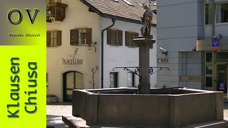
Klausen ( [ˈklaʊ̯sn̩]; Italian: Chiusa [ˈkjuːza]; Ladin: Tluses or Tlüses) is a comune (municipality) in South Tyrol in northern Italy, located about 20 kilometres (12 mi) northeast of the city of Bolzano.
Contents
- Map of Klausen Province of Bolzano South Tyrol Italy
- Geography
- Frazioni
- Coat of arms
- Linguistic distribution
- References
Map of Klausen, Province of Bolzano - South Tyrol, Italy
Geography
As of 30 November 2010, it had a population of 5,144 and an area of 51.4 square kilometres (19.8 sq mi).
Klausen borders the following municipalities: Feldthurns, Lajen, Sarntal, Vahrn, Villanders and Villnöß.
Frazioni
The municipality of Klausen contains the frazioni (subdivisions, mainly villages and hamlets) Gufidaun (Gudon), Latzfons (Lazfons), and Verdings (Verdignes).
Coat-of-arms
The emblem represents an argent dexter key on gules. The emblem was used as a seal from 1448, known from 1397 and granted in 1540 by Cardinal Bernhard von Cles Bishop of Brixen.
Linguistic distribution
According to the 2011 census, 91.30% of the population speak German, 7.88% Italian and 0.81% Ladin as first language.